solo adventure series

42 Mile Run on MD Segment of the Appalachian Trail - The Run Itself (Solo Adventure Series)

169514357_10223605272832042_6982071799121570600_n.jpg

During the pandemic, I set a goal for myself of finally checking off a ultra running bucket list run. For a few months, I trained by myself to run the entire stretch of the Appalachian Trail in Maryland. What an absolute adventure this run was. There were highs and extreme lows. I thought about quitting more than once, but my mental training carried me through to the finish line. I dedicated this run to the City Kids Wilderness Project, and raised over $700 to give kids from DC get rad outdoor wilderness experiences while learning leadership skills.

Read on for the whole experience!


My alarm went off at 4:15am. I rolled over, and waited for my next alarm to go off, at 4:20am. I sighed, stretched, and made my way to the kitchen. Water first, then coffee. While the coffee brewed, I took a bit of peanut butter and honey sandwich I had made the night before. I wasn’t hungry yet, and set the sandwich down.

My aid station box included a lot of my favorite things: pretzels, tailwind, animal crackers, red bull, peanut butter and jelly sandwiches. I packed hand sanitizer (pandemic was still a thing), bandaids, tylenol, and more.

My aid station box included a lot of my favorite things: pretzels, tailwind, animal crackers, red bull, peanut butter and jelly sandwiches. I packed hand sanitizer (pandemic was still a thing), bandaids, tylenol, and more.

I sat with my coffee at the kitchen table, illuminated only by the dim light of our microwave oven light. It was too early for real lights. I peered at the box next to me, going through the mental checklist of supplies I knew I needed. Tailwind – check. Honeystinger waffles – check. Tylenol – check. Bandaids – check. I finished my coffee, drank another glass of water, and headed back upstairs to get dressed.

We pulled out of our driveway at 5:30am. I was driving, as my husband is nocturnal, but only in the late at night, not early in the morning sense. No one was on the roads at this time of day, which made our hour and a half drive to Thurmont, Maryland a breeze. Our first stop was the local Sheetz gas station. I would use the bathroom. Chris would buy a breakfast burrito and coffee. Then we’d turn up the mountain road headed towards Penmar and the Mason Dixon Line.

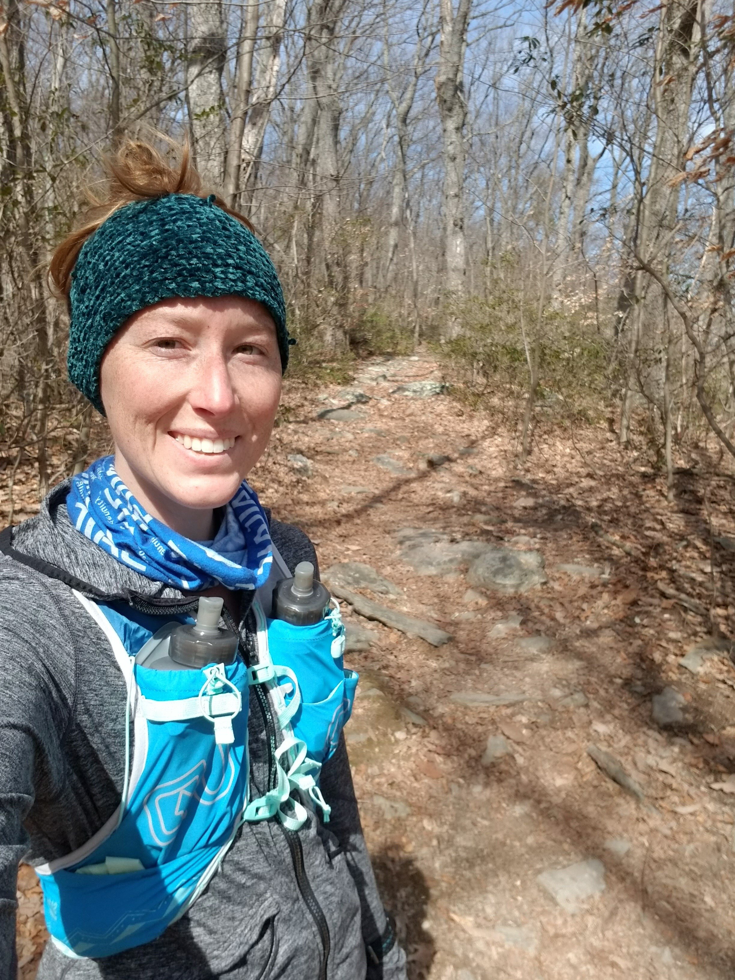
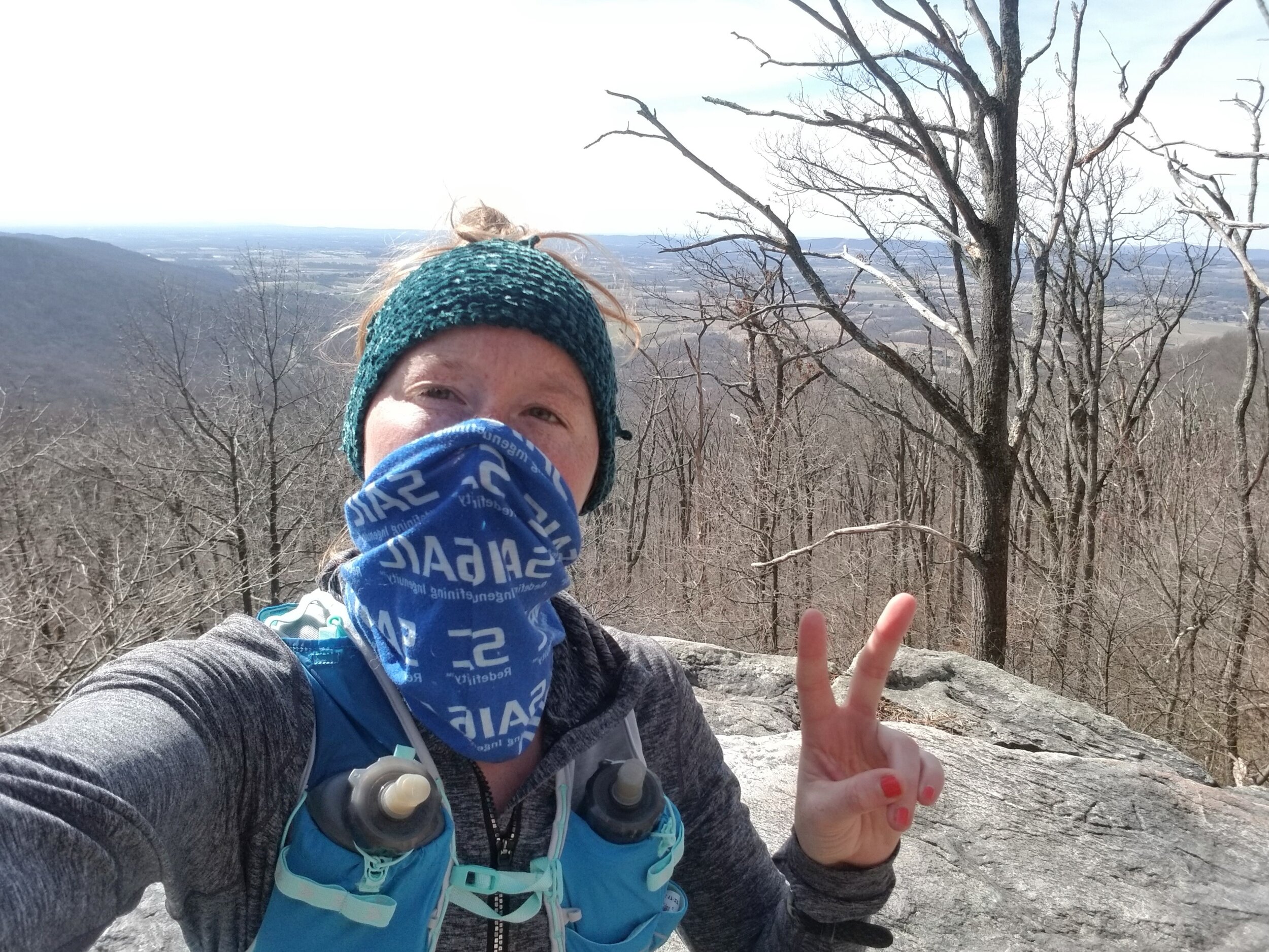
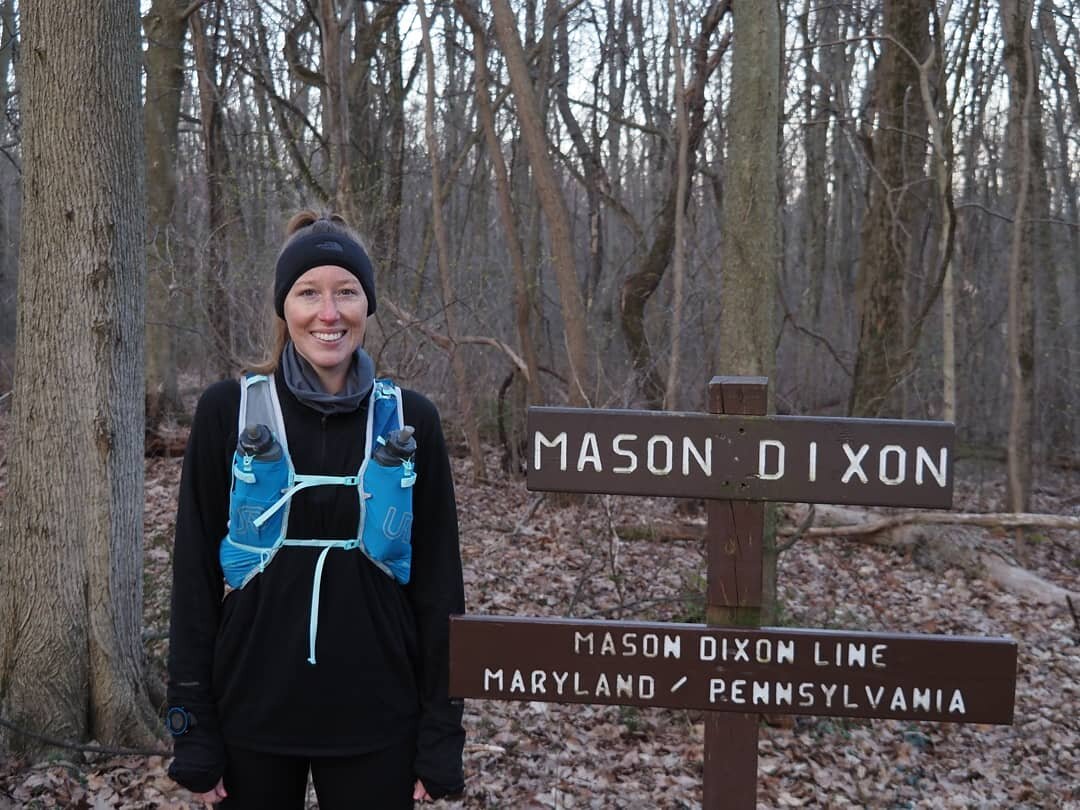
At just about 7:20 we pulled into the gravel parking lot. A few other cars were already there, including what appeared to be another trail runner, about ready to take off on his own adventure. I took my slippers off and traded them for trail shoes. I assessed the weather, second guessing my gear, but going with my gut of not having too many layers, despite the chilly air. I put my pack on, turned my watch on, and guided Chris and our dog Sam towards the start line, half a mile down the trail.

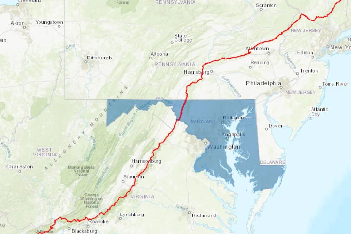
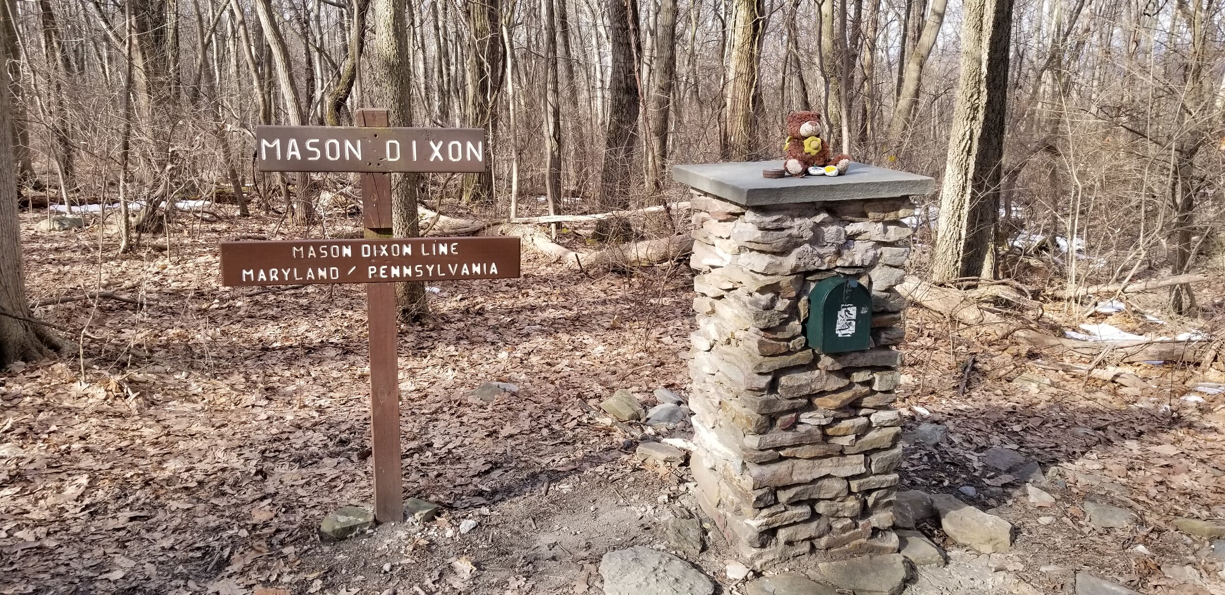
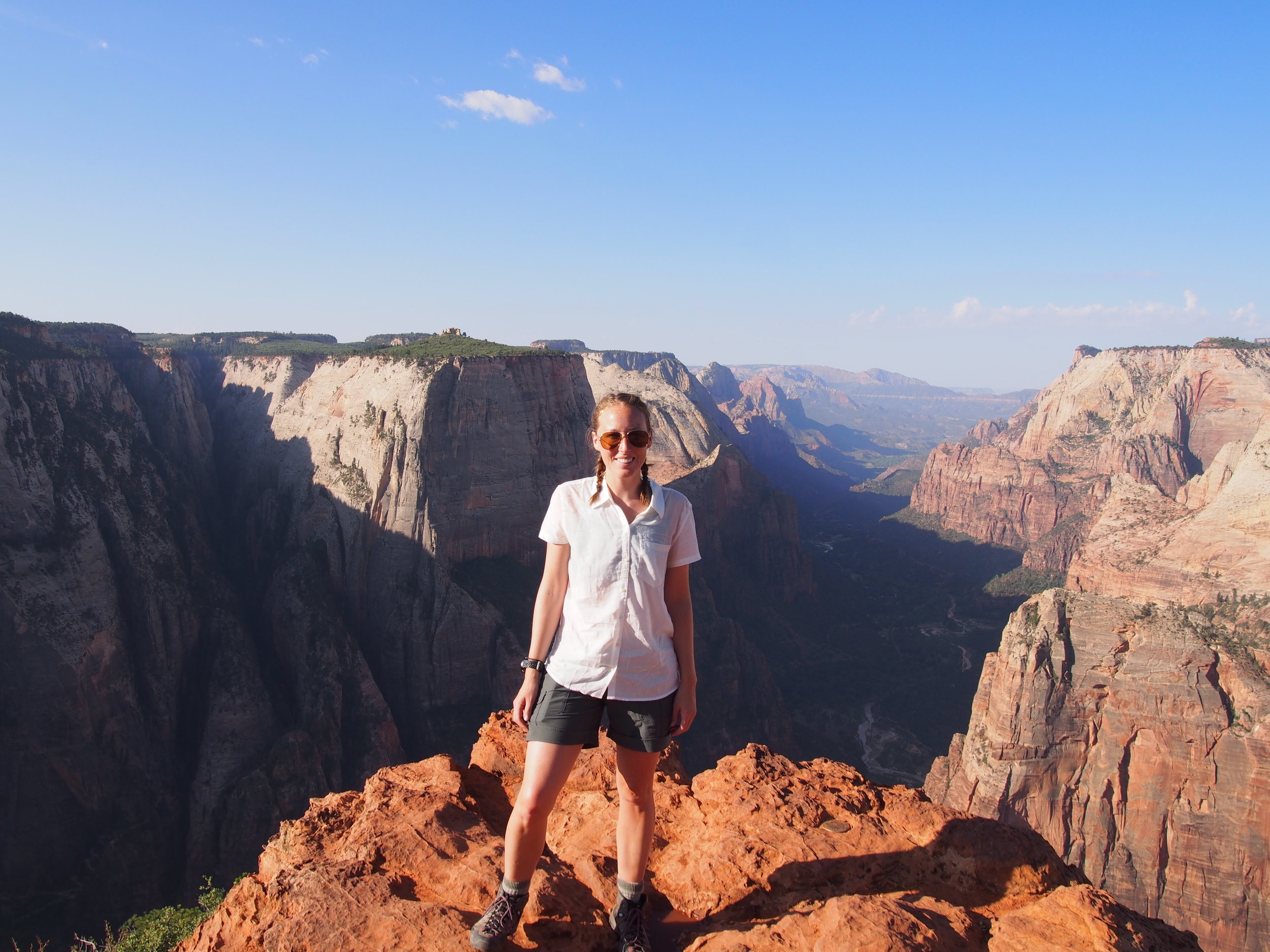
After a few quick pictures, a kiss (for the husband) and a pat on the head (for the dog), I turned south and began to run. It was 7:40am, and I had just about 12 hours of sunlight and 42 miles ahead of me to make it from Pennsylvania border to the West Virginia border.

Start to Aid 1 – 8ish miles

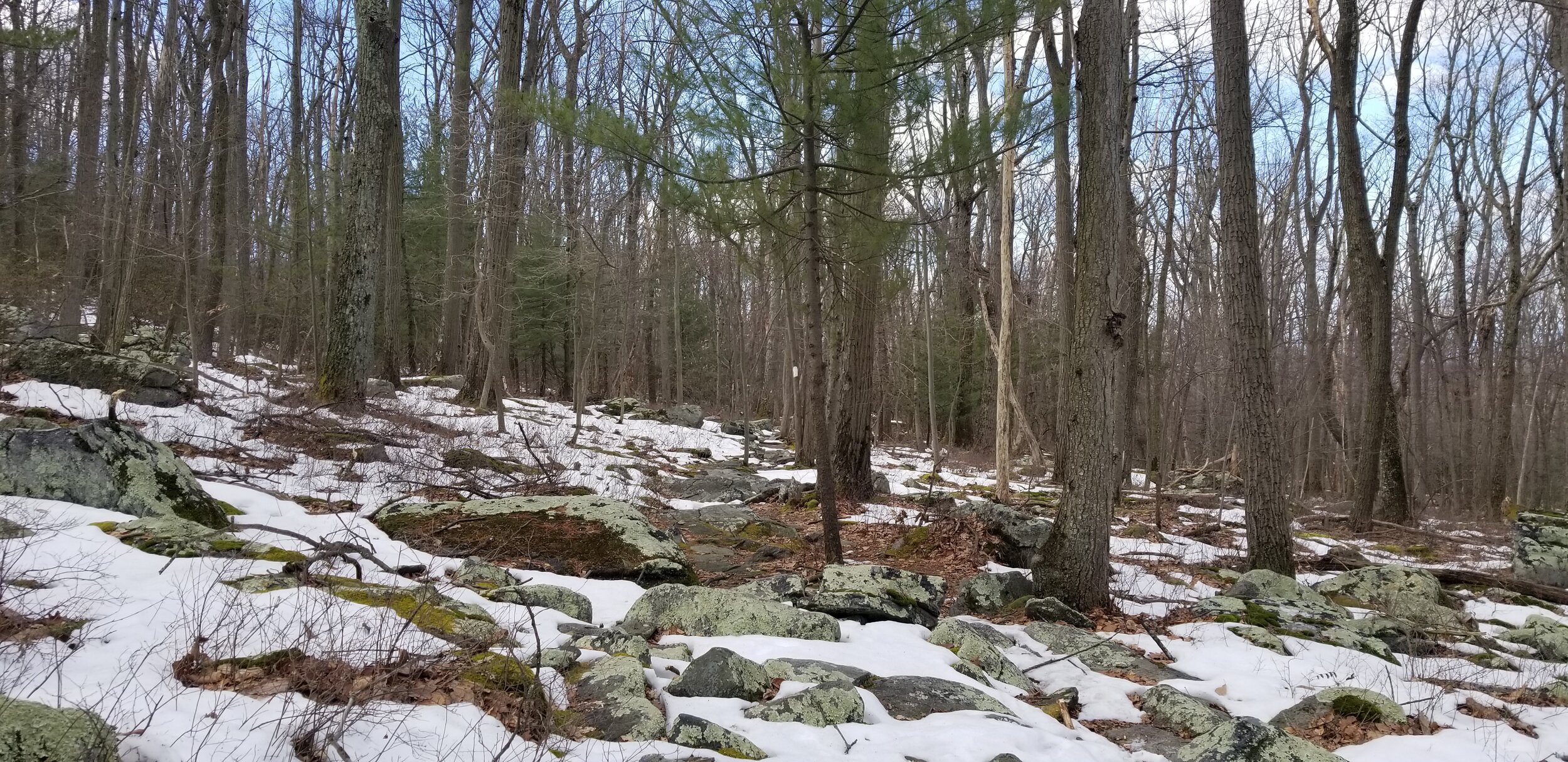
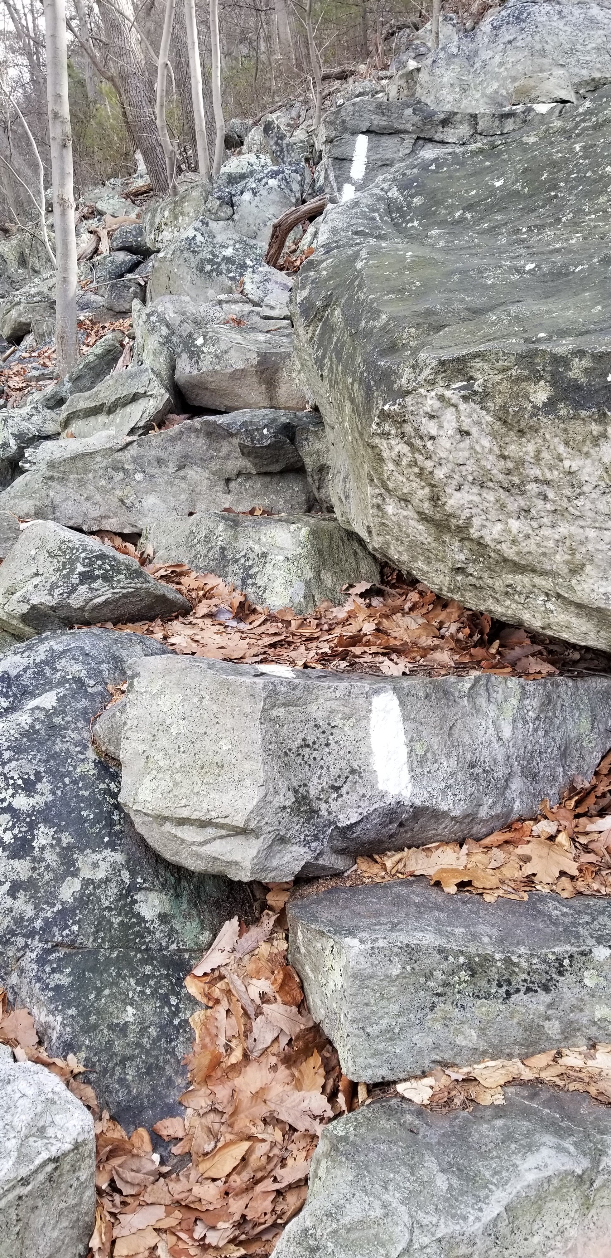
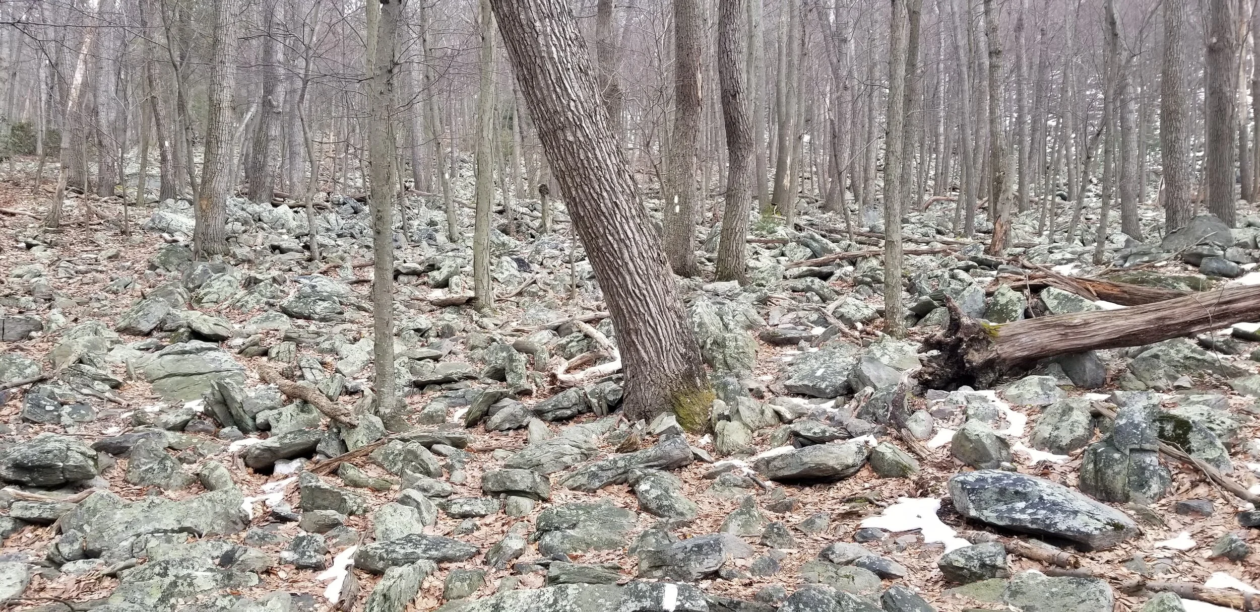
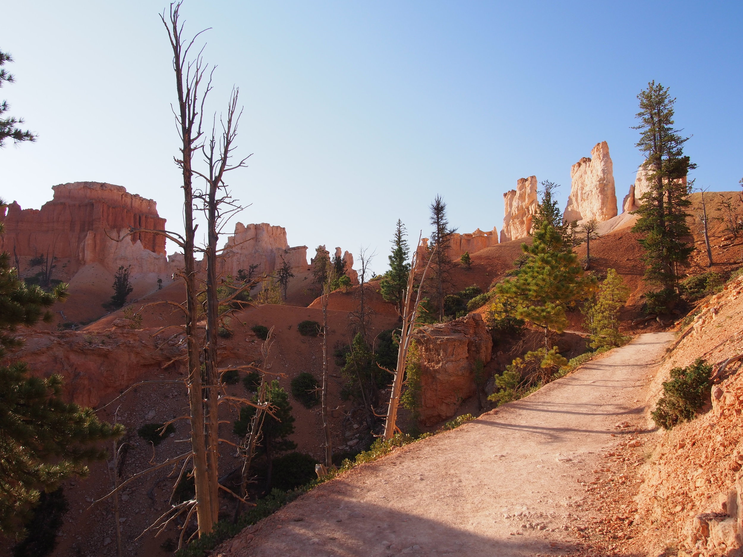
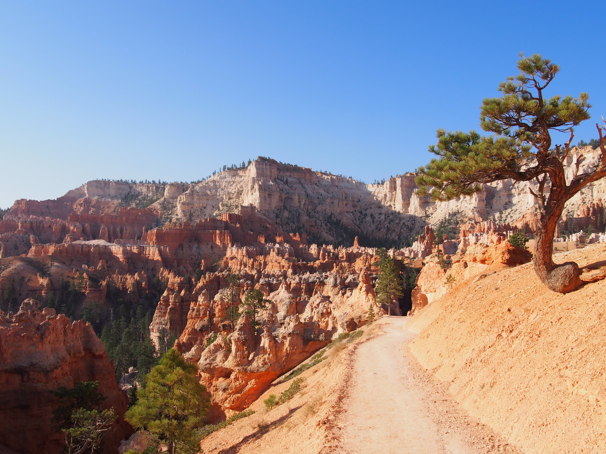
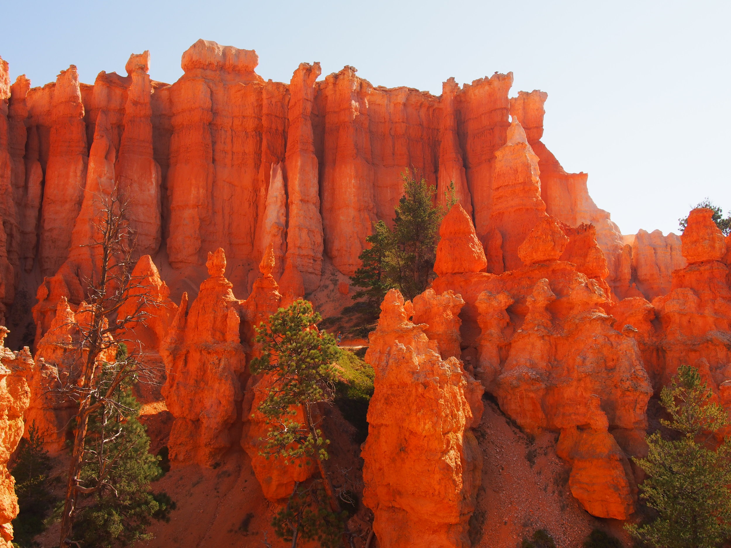
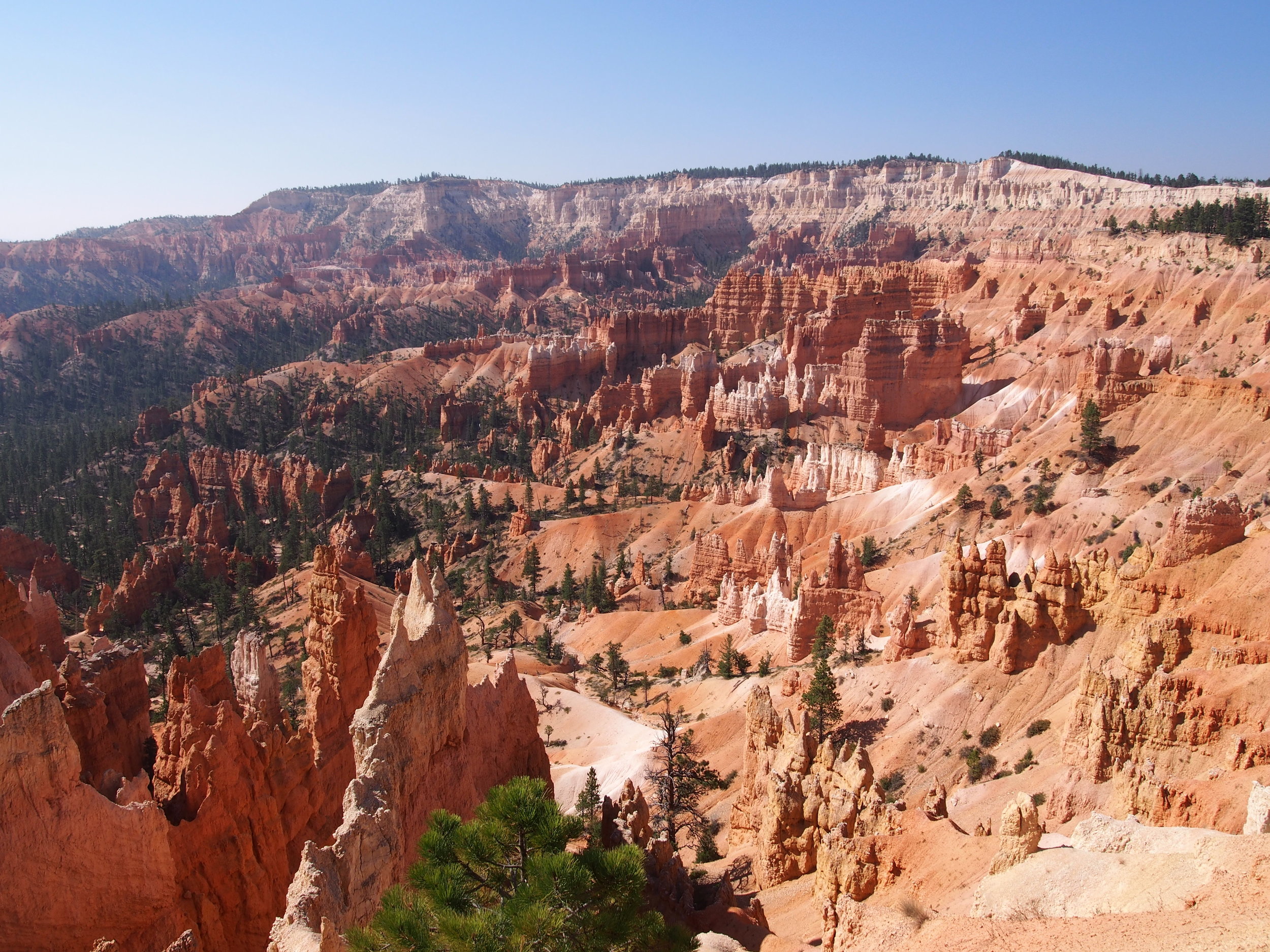
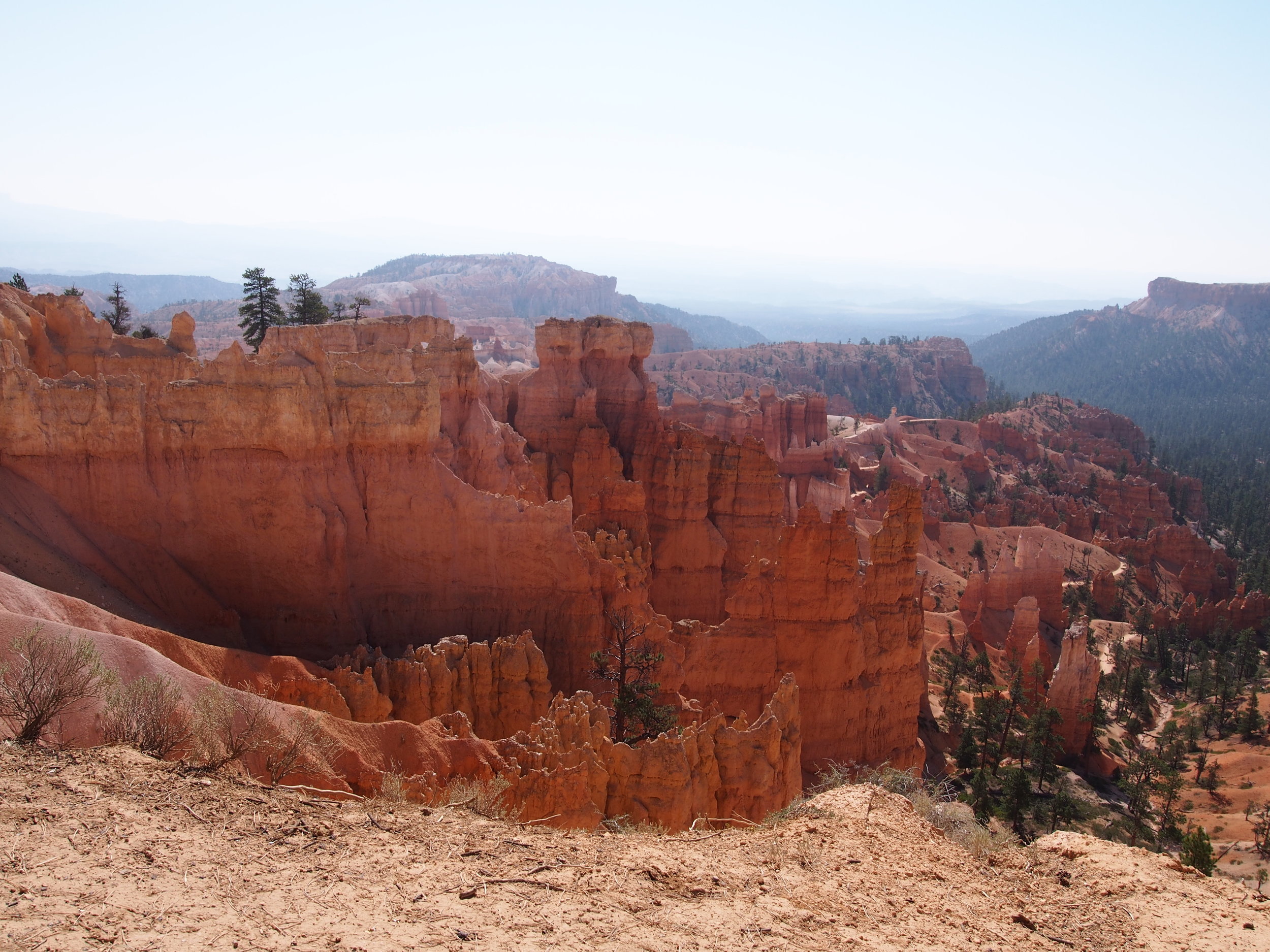
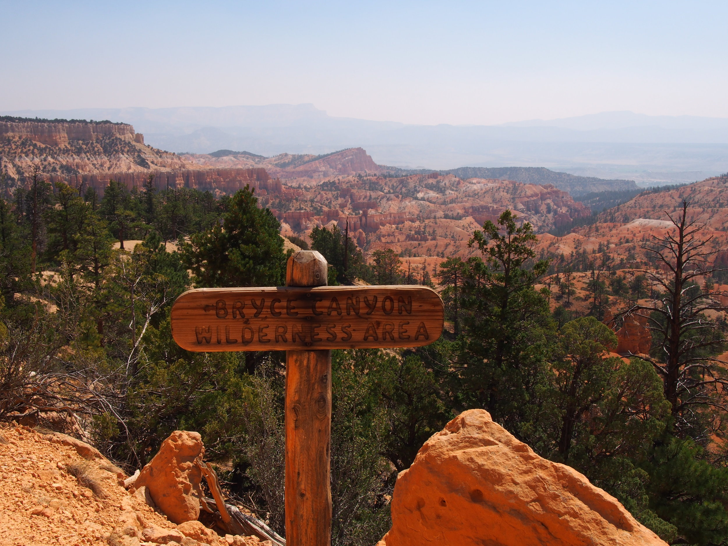
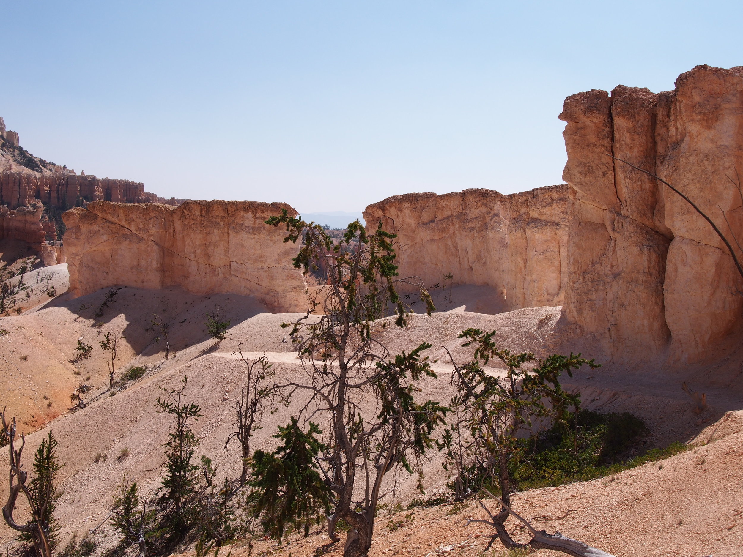
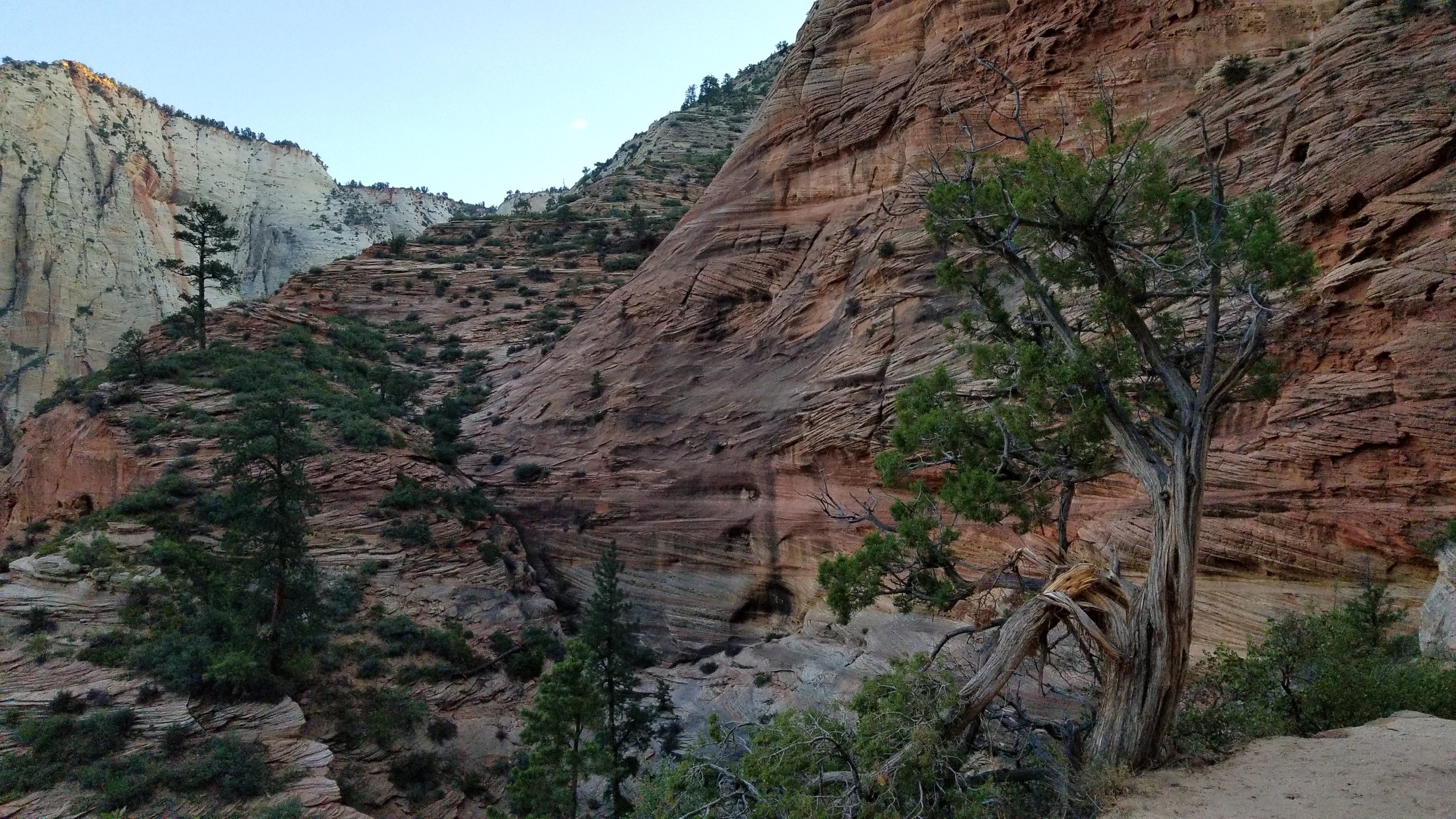
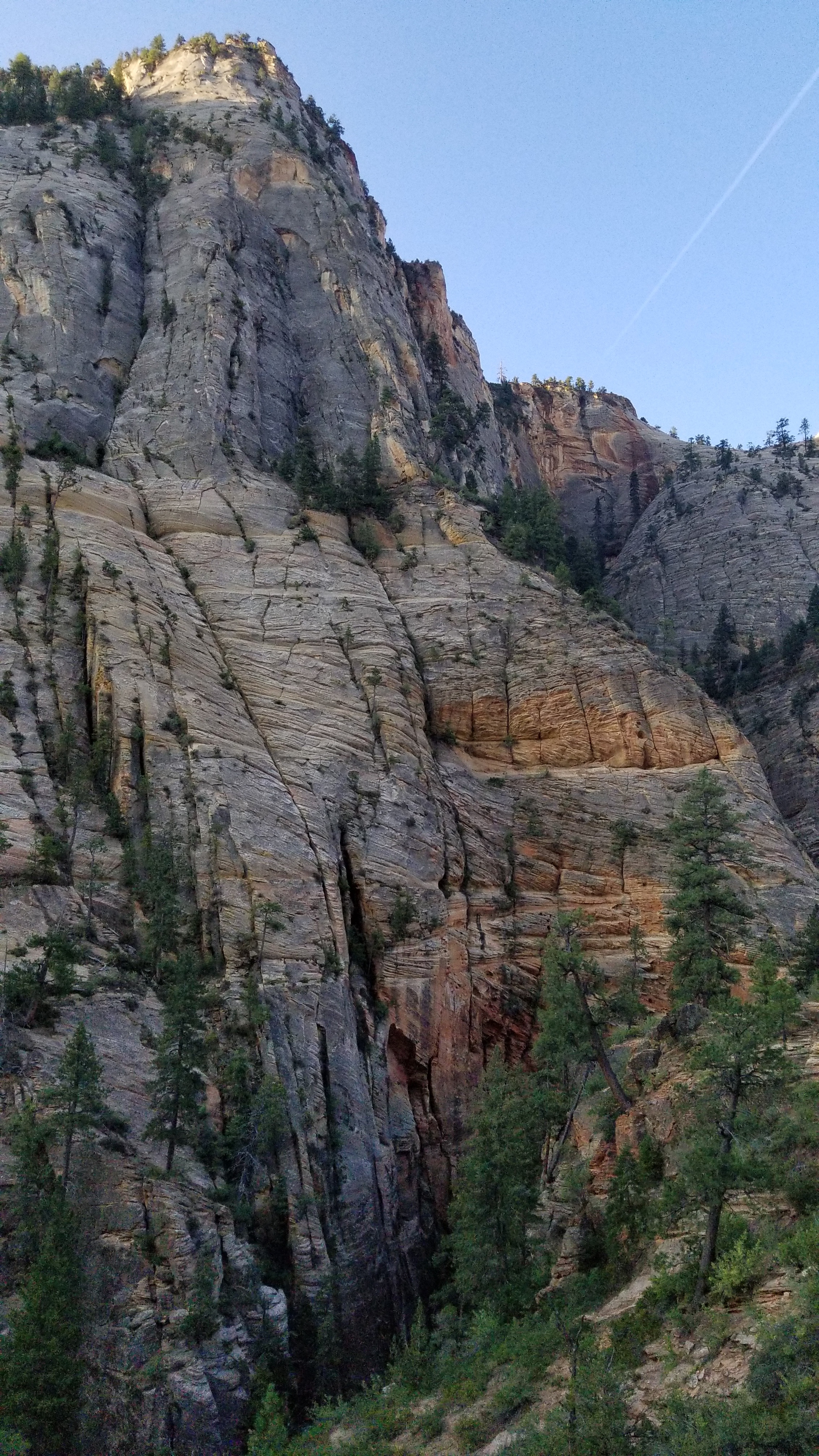
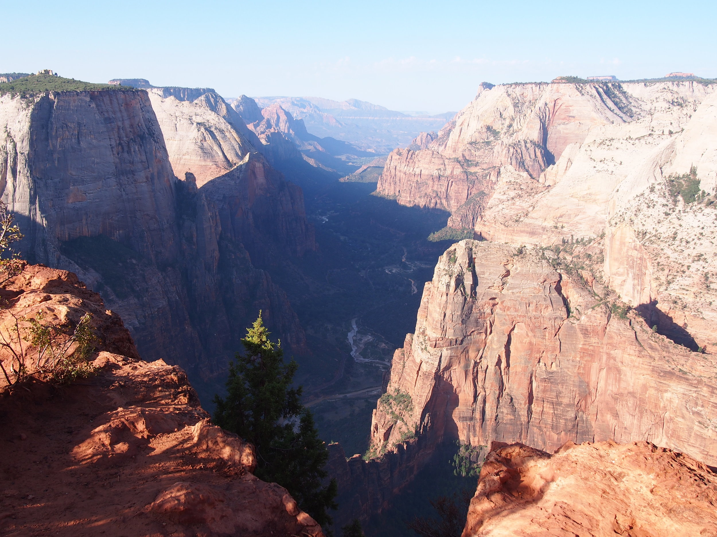
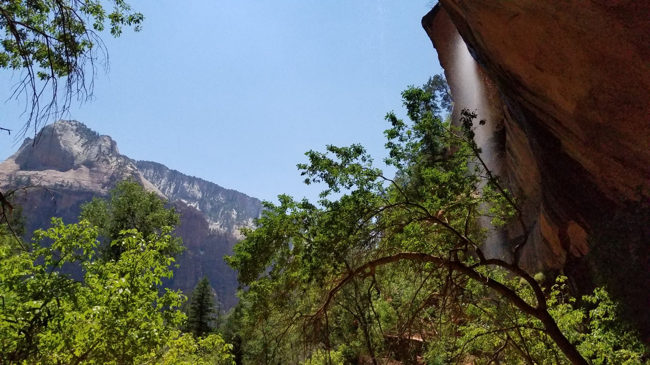
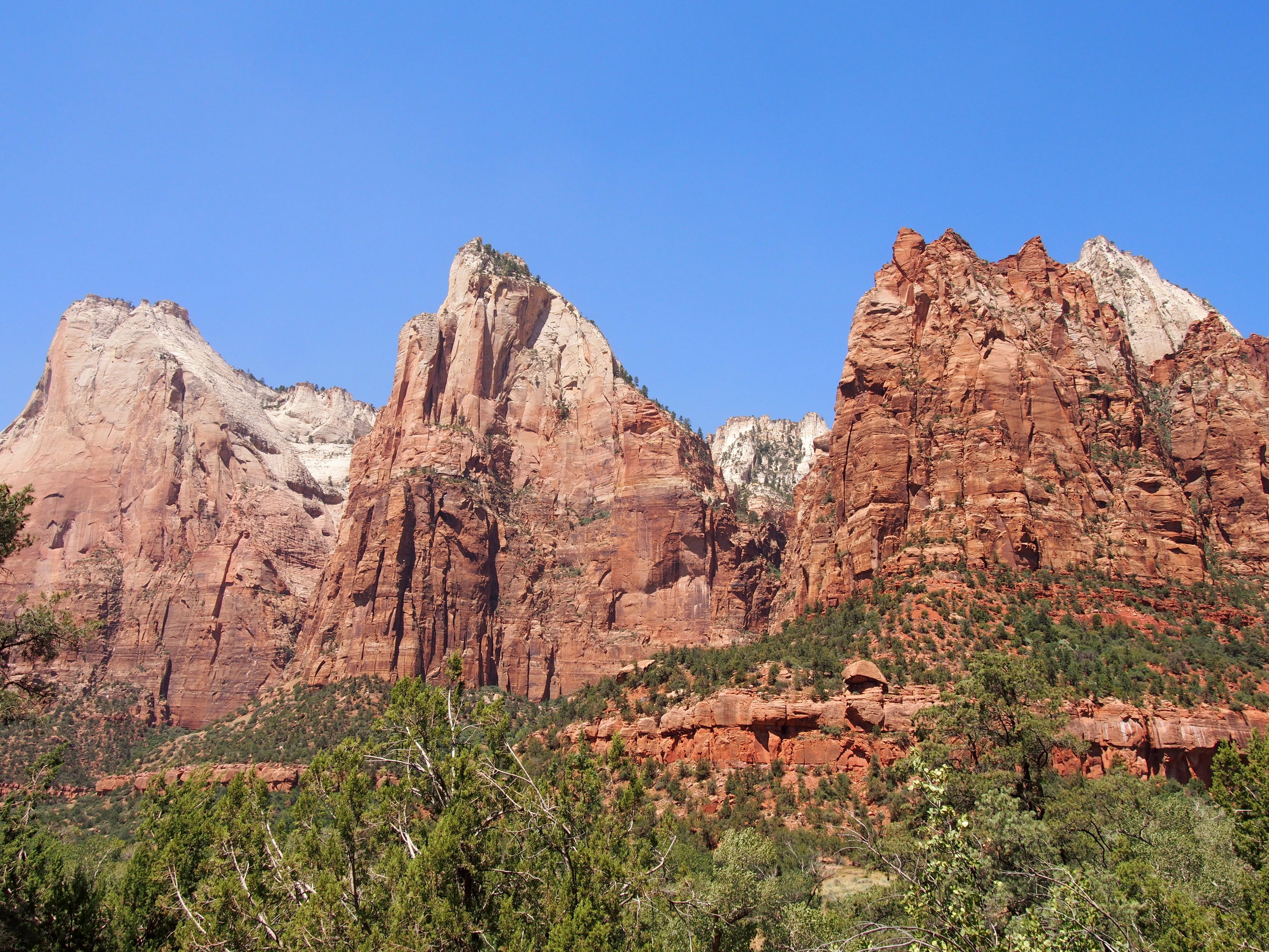
The first two or three miles of this section are deceptively nice. The trail is smooth, there are not major climbs. It tricks you into a false sense of security, until you stumble upon the boulder field. Having run this section a few weeks prior, in conditions considerably worse, I was mentally prepared for the descent and ascent of the boulder field. The downhill portion isn’t all that bad when it’s not covered in snow and ice, and once you know how long the uphill climb on the bolder section is, that too is manageable. I had an added boost in this early section – I came upon an older guy who was hiking at quite a fast clip right as I dropped into the boulders, and his pace kept me accountable (if not pushed me a little too fast) through this section.

I emerged at the top of the boulder climb excited because I knew this next section was relatively flat, and, missing the ice I experienced on my training run, likely a lovely experience. And so it turned out. I glided along this section, keeping my pace steady and working to conserve my energy. I had a long day to go, and many tough sections ahead of me.

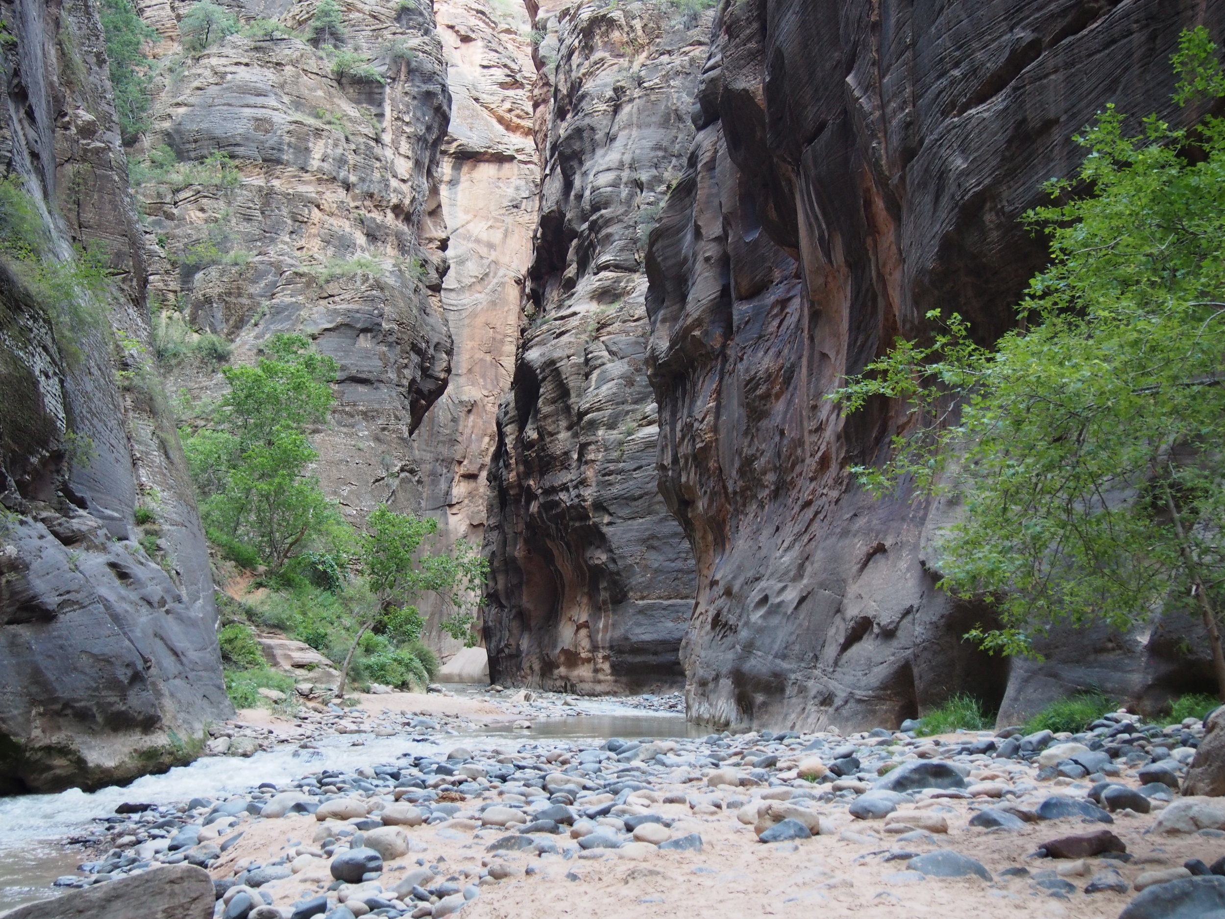
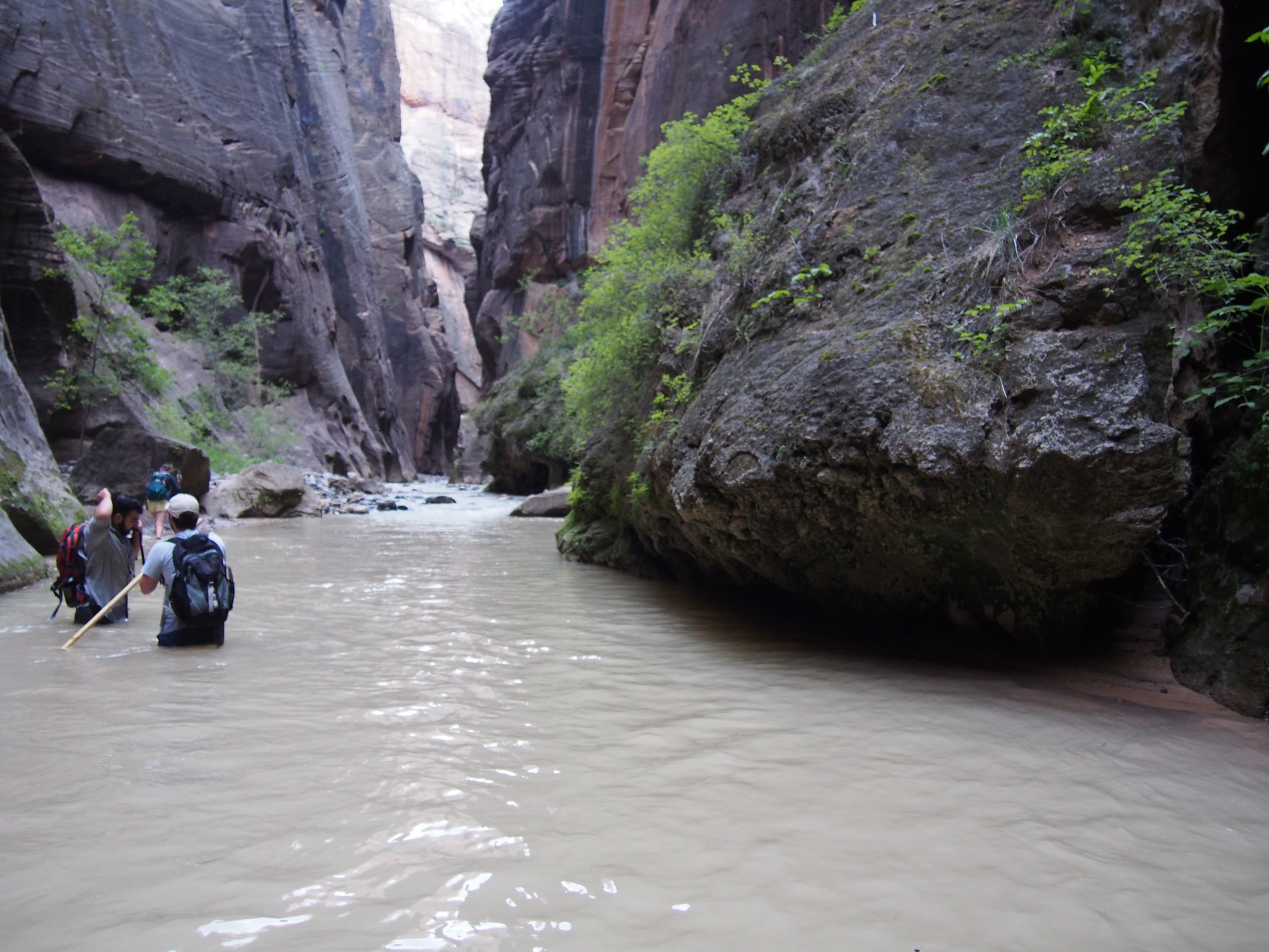
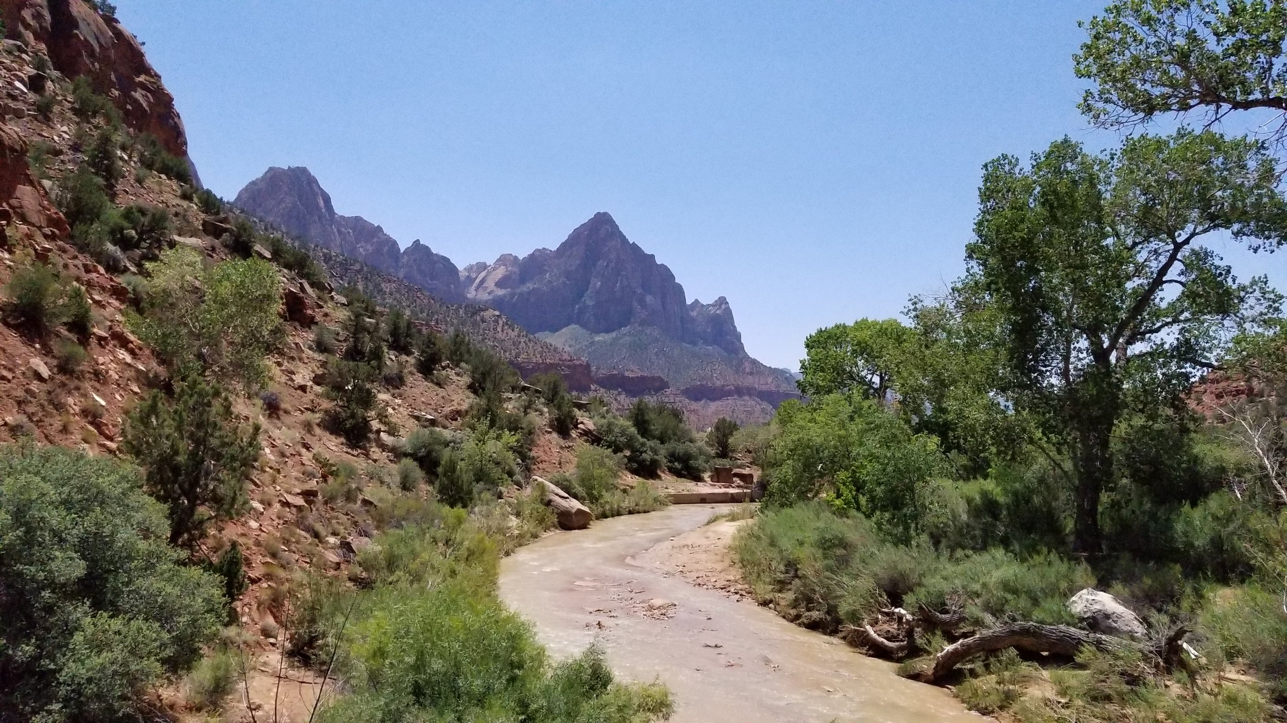
I arrived at Raven Rock and began the descent to the river, making sure to watch my footing so I didn’t bust my ankle too early. At the base, I crossed the road, crossed the river (much more confident than the last time I was there), and kept moving. I eventually caught up with the runner I saw at the Penmar parking lot – he was clearly out for a long day too, as we were already probably 5 or so miles out from the parking lot and he showed no signs of stopping. I passed cordially, and continued running.

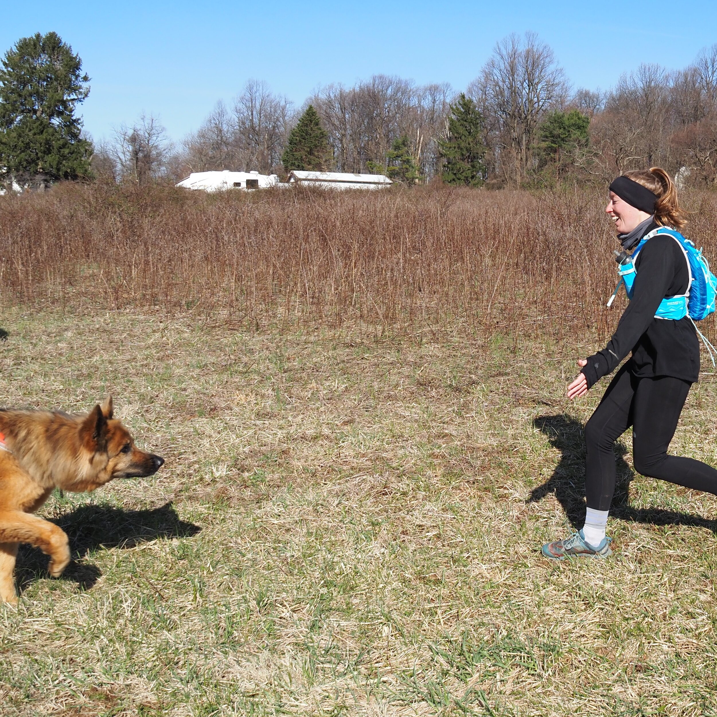
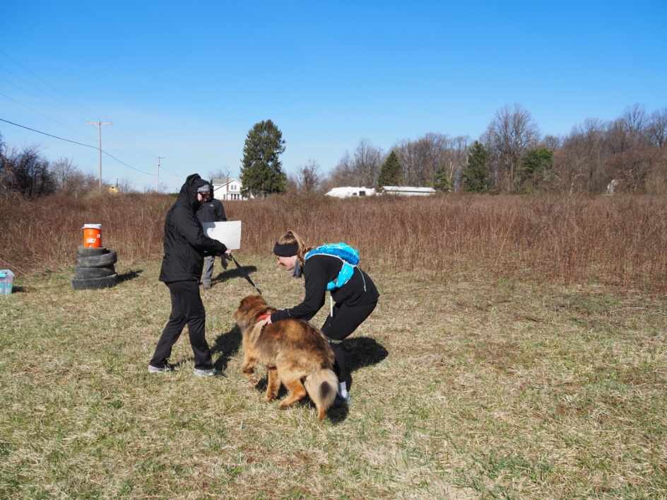
I chose aid station 1 where I did because there was a small car pull off section and a big open field. Perfect for my parents and husband to set up my aid box and water jug. I emerged from the tree line feeling really confident and happy, and made my way down the field to where they were waiting. Sam, our german shepherd, was with them and he was quite excited to see me.

I grabbed some water, had some pretzels, said hello to my parents and prepared to leave. I only spent about 5 minutes at this aid station, just enough to say some hellos and take a quick rest. While I was there, the runner from the morning passed by us. My parents offered him some water, but he declined and kept moving. I pulled out about 3 or so minutes behind him.


Aid 1 to Aid 2 – 12ish miles

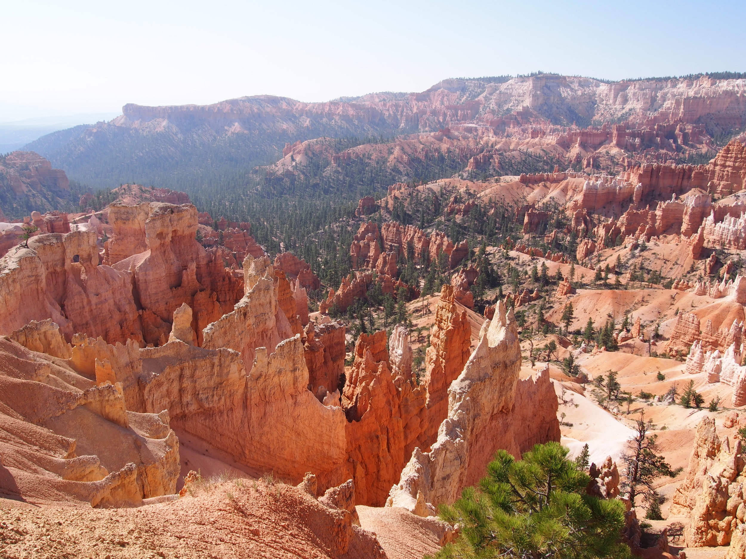
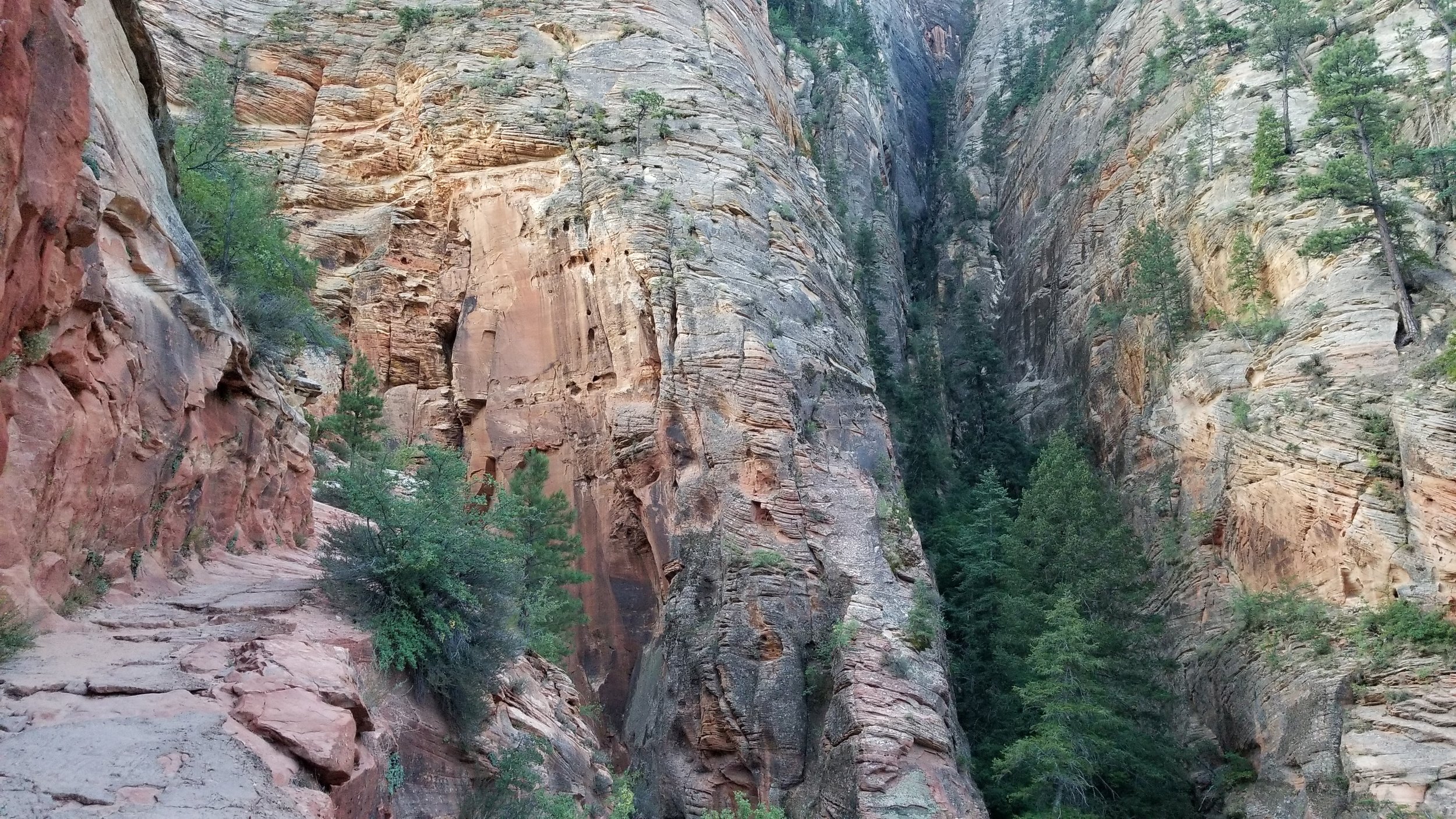
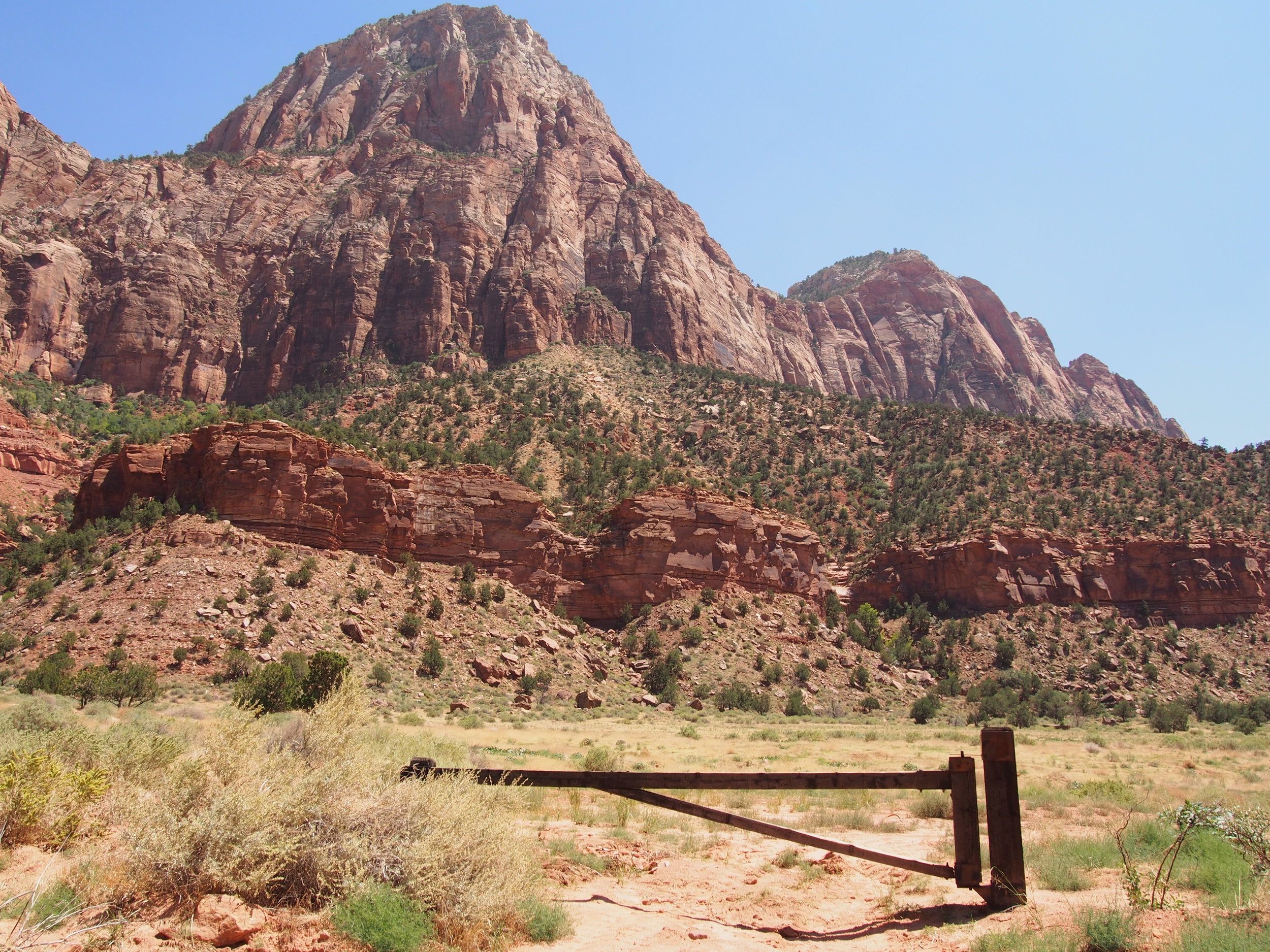
Ahead of me was a section I wasn’t looking too forward to. I was heading towards Washington Monument State Park, but in order to get there, I knew there was a section ahead of me that was absolutely full of rocks. I also knew there generally was going to be a big climb within the first few miles of this section. I wasn’t 100 percent certain on how big the climb would be or how long the rock section would be, because I hadn’t actually run a good portion of this stretch.

As I got going, the first two miles were great. But as soon as I passed Tumbling Run shelter, I crossed the road and immediately began to climb. And climb. And kept climbing. I’m not sure exactly how long the climb was or how steep it was, but it was definitely the real deal with switchbacks. About a quarter of the way up, I caught up with the runner I had been seeing on and off all morning. I ended up passing him, and as I passed, we struck up a conversation. I was surprised how far out he was, given I knew he was likely on an out and back, so I asked what his plan was for the day. He said he was aiming for 26 miles, which meant he had about 3 more miles to run from where we were before he would be turning down. I told him I was running to West Virginia and he was floored. I shuffled past him after a few more niceties.

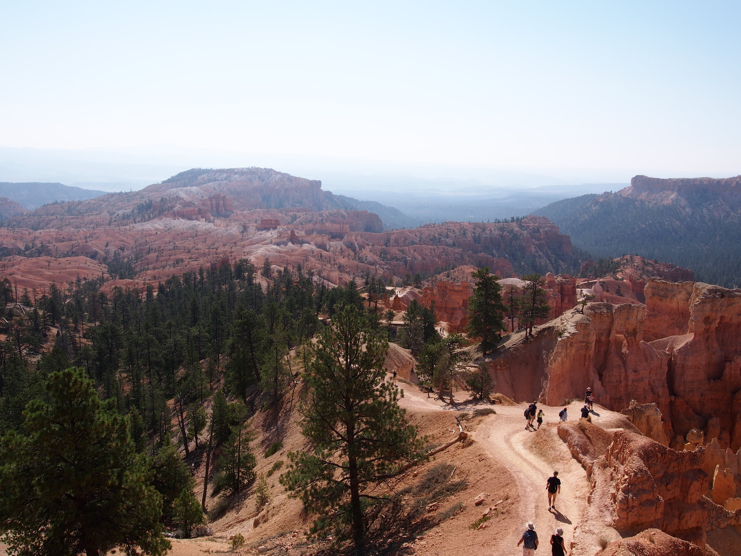
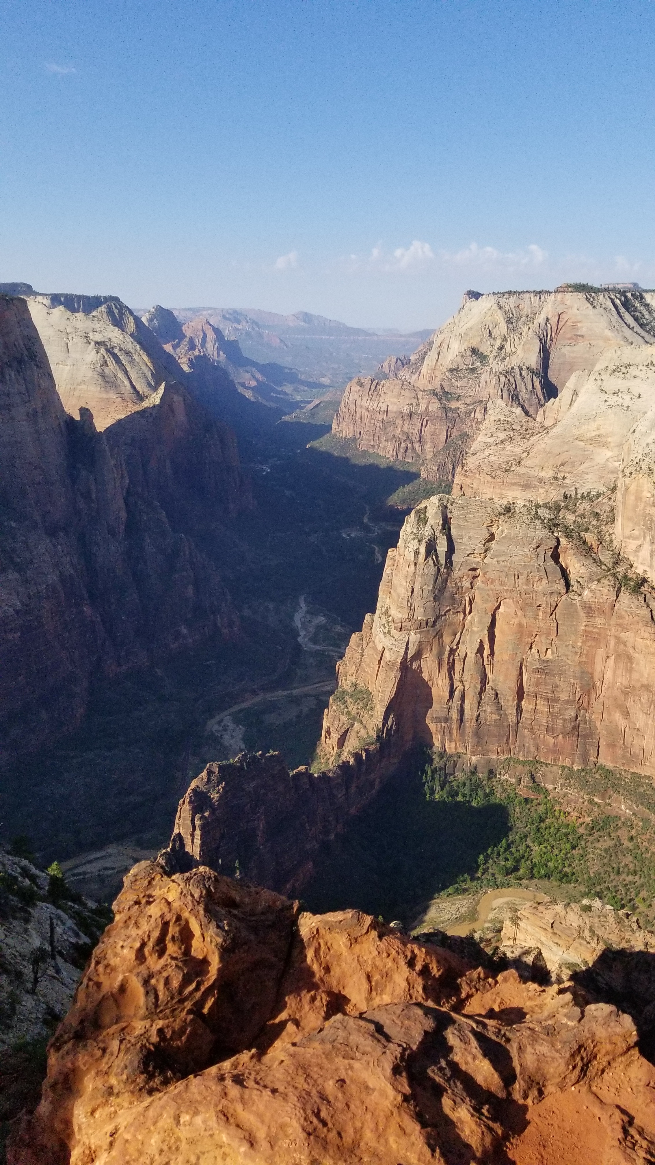
At the top of the big climb, the trail was actually really nice. Smooth trail, few rocks, no elevation gain. That lasted for just a little while, and then I entered the rock section. To be fair, the rock section wasn’t as long as I thought it was. I had approached this section several times in the past from the opposite direction (running from Annapolis Rock) and usually given up after about five minutes of hop skipping over rocks and not actually running. After a handful of minutes on the rocks, I emerged, and was in very familiar territory at this point. I had trained for my first 50k on these trails, and memorized their quirks like the back of my hand. I wanted to go into autopilot, but my body had other plans for me.

Just after the rocks is a steady downhill section. The trail isn’t really technical, it’s just a lot of water bars and really consistent downhill, for maybe a mile. My knees at this point decided that they, specifically the right knee, really did not want to be doing what I was doing, and put up a huge fit. My right knee was cracking, and a sharp pain was setting in. NOT GOOD, considering I wasn’t even at the halfway point. ‘What was going on’, I thought to myself. I still don’t know what was happening, but I wasn’t pleased, and had to suffer through knee pain the rest of the run (an ill-advised suffering, I reflect on now).

Typically, steady downhills are my bread and butter. I cruise downhill, flying fast and gaining back any slowness I may have built up in the climbing phase of my runs. Unfortunately, I had to slow myself down here, nurse my knee, and take it easy. This got to my head, and starting planting seeds of doubt, which amplified over the course of the remaining 7 or so miles I had on this section.

I eventually passed Annapolis Rock, tenderly made my way down to the Route 70 overpass, and headed in to the last 3 or so miles to Washington Monument State Park. Half a mile in to this last section, I completely lost it. I was climbing a small little hill, nothing major, but my mind just said ‘NO’. I didn’t want to keep going. I found a stump to sit on, and had a good cry. I texted my husband one word: ‘struggling’, and then had another little cry. I sat there for a few minutes, just collecting my feelings, resting my body, and building up the motivation to at least finish this section.

Reflecting back on this moment, and the moments leading up to it, I think I can narrow down the mental and physical collapse to a lack of nutrition. I failed to onboard electrolytes at Aid 1, and hadn’t consumed any salt or electrolytes in the first 21 or so miles. My body just wasn’t having it. And I suffered the rest of the run because of it.

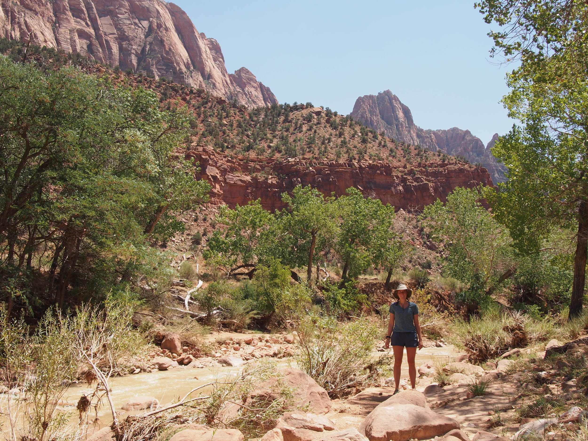
I eventually made it to Aid 2, after walking those long three miles from my stump. I told myself there was no reason to push myself at this point, especially if I wanted to finish. I just needed to get to Aid, get some salt in my body, take a rest with my family, and let everything else go.

IMG_8986.jpg
Resized_OI000080.jpeg

Aid 2 to Aid 3 – 10ish miles

I sat at Aid 2, in the parking lot of Washington Monument State Park, for probably 25 minutes. I chugged Tailwind. I at half a peanut butter and jelly. I drank half a red bull. I used the rest room. And I just sat. My mom tried to talk to me and check in, but I wasn’t mentally available to have conversation. I just needed to rest. And reset. And figure out my plan.

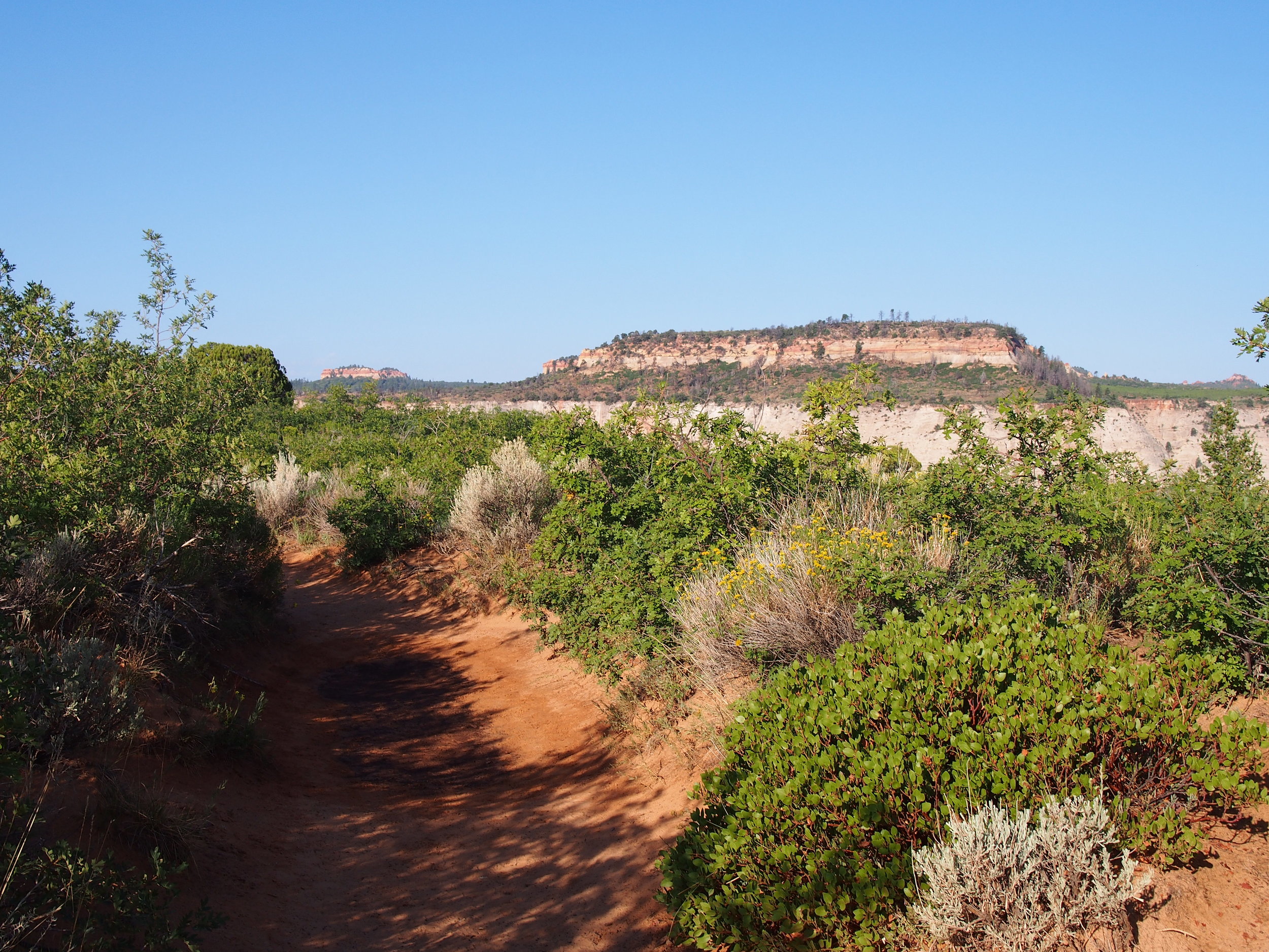
I knew I hated the next section of trail. This section is the section I cried on during my training run a few weeks before. It’s not that the section is physically horrible, I just had a bad mental day when training on that section, and that set the tone for the trail for me.

I eventually sucked up my feelings and got going. I eased down the trail, and set myself on the path to making it to mile 30ish. I knew at the next aid, I’d have my husband joining me for the last section, and that alone was what helped movitvate me to keep going. I knew he was waiting.

I moved through the first few miles of this section, no problem. I got to the place where I had my meltdown before, and was feeling ok. I knew just shortly ahead of me was a flat and fast section, and I was excited to reach that spot. It felt like it took forever to eventually get there though, and my mind started playing tricks on me again. Placing seeds of doubt in my mind.

I started to tell myself that 30 miles was enough. It was my 30th birthday. I didn’t need to run 42 miles, I just needed to run my age. I could stop at the next aid, and claim victory by ‘running my age’. I nearly convinced myself that that was what I was going to do.

About a mile and a half from the end of this section however, my watch beeped at me. Battery was dying. I needed to make sure I finished this section before my watch died. I started running faster. And faster. I felt great all of a sudden. I was ripped out of my ‘woe is me’ mentality for a few minutes, and was purely racing against time at that point.

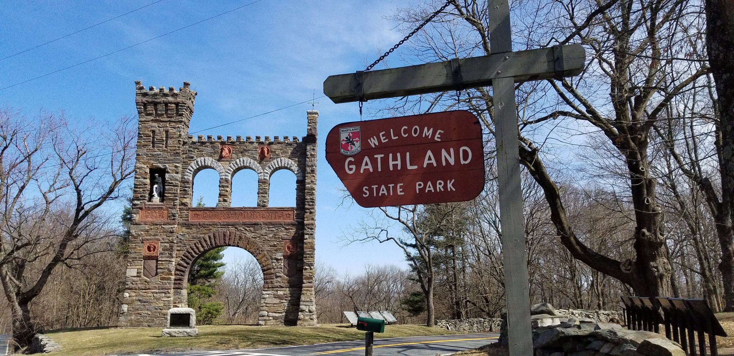
I made it to Gathland State Park and met my mom and dad at the picnic pavilion. They had my aid set up and told me my husband was at the car getting ready to run with me. I grab some tailwind, refresh on water, and just take a beat to check in. Would I tap out at this point? I really wanted to, but I had effectively convinced myself that I never wanted to run this section of trail ever again, and if I tapped out now, I’d have to come back and do the whole thing over again.

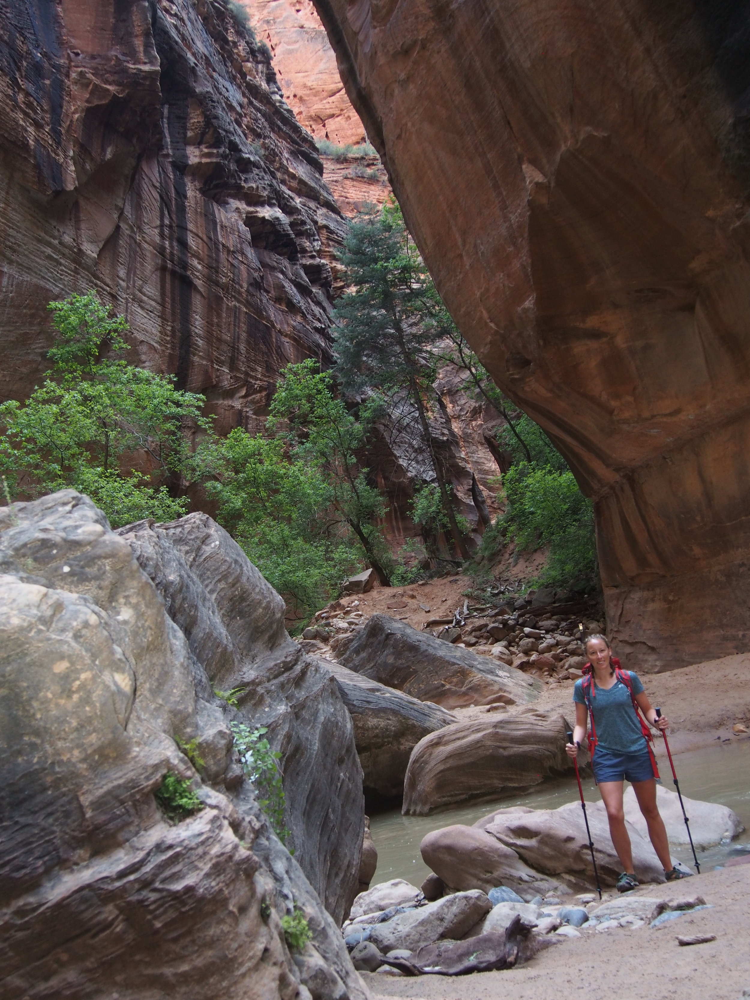
So I kept my quitter’s attitude to myself, linked up with my husband, and forged ahead for the last section.

Resized_OI000084.jpeg

Aid 3 to Aid 4 – 12ish miles

As we started moving, I told him very explicitly that I was essentially glorified hiking at this point. The pace was crisp, but we were walking all uphills, most downhills, and when I had the motivation and my knee wasn’t hurting, shuffling on the flats. Our pace was slow, and deliberate. I had one motivation at this point: finish before the sun goes down.

The section between Gathland and Weaverton is actually not too bad. I hadn’t really trained on this section, except a few out and back miles a few weeks before. I didn’t really know what to expect here, but looking at maps, I didn’t think it would be all that bad. With my husband by my side, I was able to keep moving because I knew I had another human with me.

I did yell at a lot of rocks at this point in time now. I told my husband all about how angry I was at the rocks. How stupid they were. How I never wanted to see another rock in my lift. How they were the worst invention on earth. He probably thought I had lost my mind at that point, and I’m pretty sure I was on the verge of it, if not fully crazy. I was delirious, tired, and just wanted to be done.

We made it to Weaverton with no real issues, and wove our way down to the C&O canal for the last few flat miles. I could tell the sun was starting to get close to the horizon, and I knew we needed to pick up our pace. I started a fartlek effort – I chose a tree, and ran to it. And then we would walk to another tree in the distance. And then I said we would run to the bridge far off in the distance that crossed the Potomac, about half a mile or so away. And we made it, and then we walked to another tree. And so on and so forth. We did that all the way to Harpers Ferry, ultimately running probably half of this stretch of flat and fast trail. I was so excited to be done that I had actually found some strength buried deep in the reserves of my mind and body.

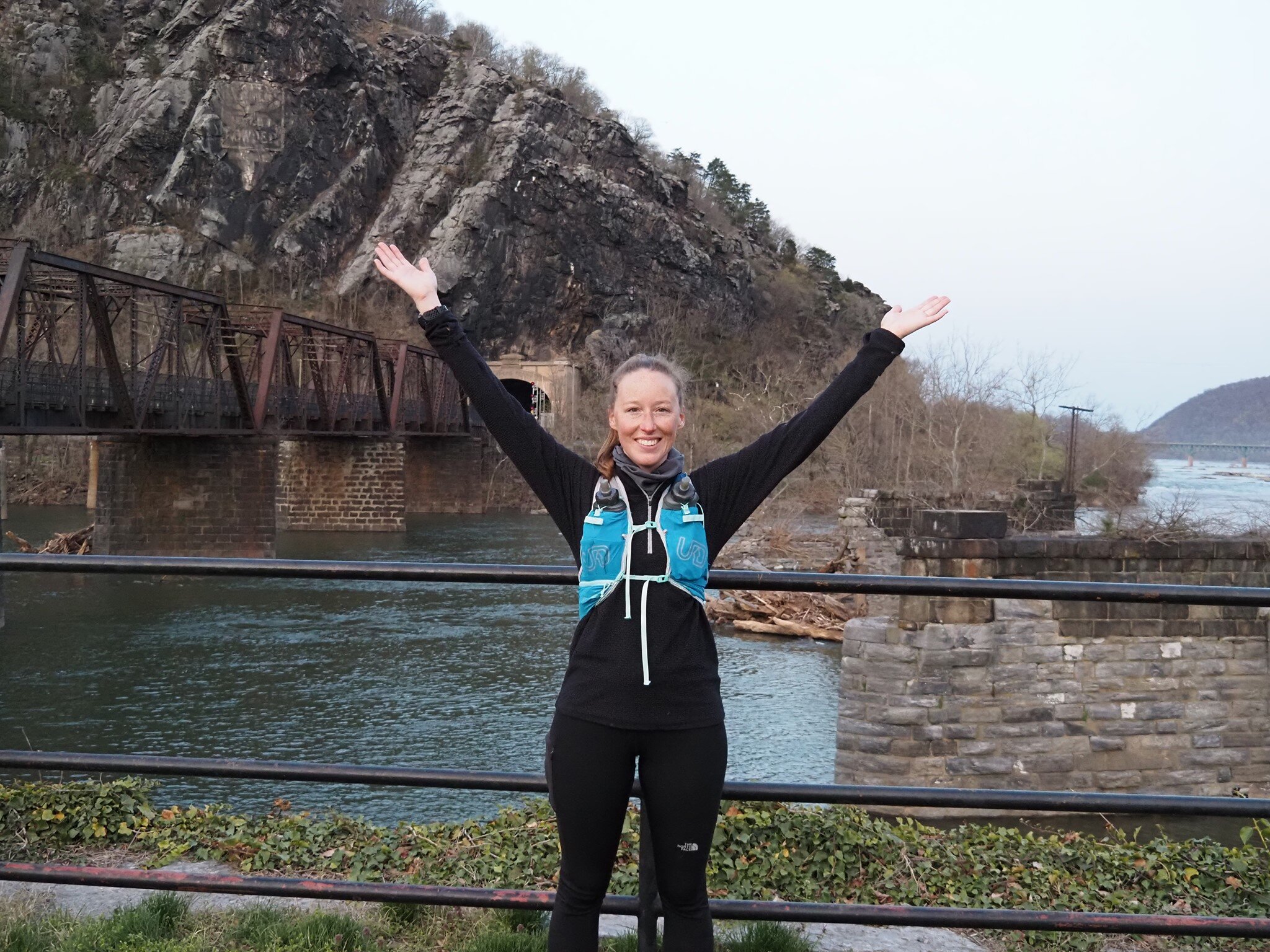
We climbed up the stairs to cross the railroad bridge to Harpers Ferry and I was elated. Running across the bridge, we saw my parents standing and waving at us. I was so close. I was almost done.

We finished crossing the bridge, shuffled over to my parents, and in that moment, I felt like the weight of the world had been lifted off of me.

I did it.

I did something I honestly didn’t think I could do. I ran from Pennsylvania to West Virginia on some of the hardest technical trail I have ever experienced. I did it essentially alone (no other runners around me like in a race, and I ran over 30 of the 42 miles absolutely solitary). I had no other runners with me. I had no medal waiting for me. I had not finish line feast waiting for me. I had my parents (and my biggest running supporters) and my husband. And a bunch of tourists who probably thought all four of us were crazy.

IMG_20210404_091937_371.jpg

Reflections

When I initially set out to do this run, I had no goals at all. I didn’t tell anyone I was doing it besides my husband until about two weeks out. I didn’t have faith I would actually get it done. It was scary, daunting, and the biggest running challenge of my life.

Ultimately, I set an internal and an external goal for this run – timewise. Anyone who asked me how fast I planned to run it, I would tell them I wanted to finish in 12 hours or less. Internally, I told myself if I was a good runner, I’d get it done in 10 hours or less. Turns out, my external goal was way more on point than my internal goal.

I started at Penmar at 7:40AM and finished in Harpers Ferry at 7:30PM. 11 hours, 50 minutes. I succeeded.

As someone who suffers from a lot of self-doubt, negative selftalk, and general distrust in my own abilities to achieve anything of significance in my life, I’m really freaking proud that I was able to finish this run.

There were so many moments on trail where I could have simply called it quits. I could have dialed my parents up, dropped them my GPS location, and had them meet me at the nearest trail crossing. Demons were whispering in my ear the whole time, made worse by the fact that I had ended up telling LOTS of people about my run. But I didn’t listen to any of it, at least not for too long.

As a distance runner, 80 percent of the run, in my opinion, is all mental. It is telling your mind that your body is capable of what you’re trying to get it to do. It’s convincing your inner self that you can finish, and hushing away the negative self-talk that anyone rightfully would have after hours of trudging through the woods, destroying their body.

I struggled with negative emotions through the training process for this run, and throughout the entirety of the run. And I’m really freaking proud that I was able to recognize that negative self-doubt, check-in with myself, and find the motivation in some deep reserve of my soul to keep going. This run reminded me that I am strong, I am capable of anything I put my mind to, and I can do so much more than I really ever thought I could. I’m really proud of myself.

I also had A LOT of help along the way. My parents and my husband literally drove from location to location for 12 hours, all for me. They never complained once. They were exactly where I needed them to be each time I met up with them. They helped fill my water. They helped ease my mind. I could not have done this without them.

Resized_OI000097.jpeg

Running for Good

I decided to raise money for City Kids Wilderness Project as part of this running effort. I posted about my run idea on Facebook, noting that I wanted to raise money to help kids from DC gain their own life changing experiences in the outdoors. Growing up, the outdoors shaped who I am. My love for the outdoors was spurred by hiking and camping as a kid. I figured if my hobby now was shaped by those own personal outdoors experiences growing up, I should leverage the power of my hobby to help others potentially have their own life changing experiences.

I ended up raising over $700 for City Kids Wilderness Project, and that is what I’m the proudest of out of all.  

Learn more about City Kids Wilderness Project: https://citykidsdc.org/

42 Mile Run on MD Segment of the Appalachian Trail - The Training (Solo Adventure Series)

69519168_10218555363827473_7742732454410059776_o.jpg

Growing up in the foothills of the Appalachian Mountains, I have treasured her ancient slopes since before I can remember. I learned how to drive (a manual at that) on her winding one lane roads. I was taught mountain ecology on hikes with my ever-curious father. Prom dinner was at a restaurant nestled right along her spine. I watched with envy as my brothers embarked on backpacking trips with the boy scout troop, traversing miles of mountain trail over long weekends with all their friends. I told myself one day I too would come back with wicked memories of time on trail, just like them.

Over the years, my love for adventure along the Appalachian Trail evolved from simple day-hikes to backpacking. Eventually, that love for running evolved to a love for trail running. Embracing the wild of the mountain trail for hours on end became an escape for me. I heard people ran along the AT, but wasn’t quite convinced. In the lead up to my first 50k, I decided to give it a go. From a trailhead near my hometown, I stepped on to the trail with a new vision in front of me, and slowly built my confidence in gliding along the undulating rocky trail.

A Challenge Unfolds

When the coronavirus pandemic descended upon the United States, I had just been cleared to run again after over a year of recovery from an ankle break that just did not want to heal. Stuck at home in Washington, DC, I used running as my escape from the world. I began to log local miles, masked and distanced. I ran along the Anacostia River multiple times a week, soaking up a little urban outdoor oasis.

By May, my early and eager motivation to remain active during lockdown began to fade. Given that I had nothing to do when I wasn’t working, I knew this dip in motivation was bad news for myself. Surreptitiously one day, I received an email from the folks who put on the Patapsco 50k I ran back in 2017 – turned out they had put together a coaching business and were looking for athletes right at the time I was looking for coaching support.

I told my coach my goal for the year was to complete a solo marathon. And so that’s what I trained for. Throughout the summer and into the fall I trained diligently. But as the fall faded to early winter, I lost complete and utter motivation once again. I ran my 20-mile training run, then just … stopped. I just didn’t want to run anymore. I was tired. Exhausted. Burnt out and emotionally zapped. I hit pause on running. I just couldn’t stomach the idea.

As the holidays came and went, the seed of an idea that had been planted when I first stepped on the Appalachian Trail with my running shoes years before began to germinate. My next running project. My winter motivation.

I was going to run the Maryland section of the Appalachian Trail. I was going to do it solo.

Maryland Section of the AT

The Appalachian Trail in Maryland is quite short, all things considered. Just around 42 miles from border to border, the trail cuts through a narrow part of the state along the Frederick and Washington County borders.

The trail in this area is relatively well trafficked, given its vicinity to Washington and Baltimore, as well as all the towns and communities in the surrounding vicinity. I have never been out on the trail and not seen another person.

Over the course of those 42ish miles, there is roughly 7,000 feet of elevation gain. These gains are primarily achieved through a series of major climbs, supplemented by some continuous rolling trail, especially in the northern portion.

Training

I had never run further than about 34 or so miles before, and never gained more than about 4,600 feet of elevation in any race. This was truly going to be a challenge of pure physical and mental strength for me.

Between Christmas and New Years, my grand plan began to shape. I knew my motivation was likely to wane if I pushed this idea off too far into the future. I also knew I was not in super solid endurance shape. And I knew I was turning 30 in April, and it would be my second COVID birthday to boot.

My 30th birthday became my goal. Do something epic to signify the changing decade and set the tone for what I wanted out of the next chapter of my life.

I created a spreadsheet for training, with day-to-day instructions for how I would get to where I needed to be. I began with a master training log – projecting out long runs, and anticipating weekly volume and elevation needs to get my body to where it needed to by my birthday.

The plan started on December 28th, with week 1 training volume at 23 miles, slowly ramping up to 30 miles by week 5 and 40 miles by week 11. I take my mileage volume load very seriously these days after a devastating injury training for the New York Marathon a few years ago.

Picture1.png

I got even more specific in the early days, creating a day-to-day specific training plan, which articulated how I should be running my weekly mileage (slow, hills, intervals, etc). And to make sure I was getting out of the city and getting elevation beneath my feet, I created a master long-run tracker. I focused in the early days of my long-runs with easy trails near my house. As the mileage began to creep up, my focus became ensuring I knew every portion of the MD section of the AT, as I would be solo for most of the run.

Picture2.png

Turns out, I pretty much stuck to NONE of this plan, beyond generally ramping up my mileage at a consistent click and making sure my long runs got me out on the AT and experiencing the sections I didn’t know.

By February, the weather was gross. There was ice everywhere. My long runs were supposed to start getting me up into the mountains, but local intel (my father) told me the trail was socked in, covered in thick layers of ice. I suffered through city running through February, but got increasingly nervous about not knowing the AT terrain well enough by the time my birthday rolled around.

I took a risk in early March, and went to the PA border with a planned 19-miler south from PenMar. This was the section I knew the least, and it was the most important for me to train on this section. What a horrible mistake this decision was.

I arrived to the trail around 10AM. The temperature never rose above freezing that day, and 12-20 mile per hour winds were whipping around the mountain. I walked to the PA border from the parking lot, then started running south. Within just a short distance, the terrain takes a sharp turn for the worse. And by worse, I mean boulder fields. Boulder fields which happened to be covered in ice and snow. For most of the 19-mile run that day, I was participating more in a sport akin to parkour than to trail running. All I tried to do was not fall. It was miserable. I cursed this section and dreaded my return in a few weeks.

The following weekend I headed back to the AT, this time to run from Washington Monument State Park south through Gathland for a 22-mile final long-run effort. I was not in the mood to run the morning I went up there. Some pretty hard stuff was going on at work the week before, and I really hadn’t slept at all that week. Saturday rolled around and it took everything in me to get up drive.

Once I started running, I had a bit of a meltdown on the trail. At mile 4, I pulled off the trail and had a little pity party. Tears were shed. Calaculations were made: if I turned around and ran back to my car, I would have only run 8 miles on the day. Not enough for my last long run of the training cycle. I’d have to go out again, and I’d have to come back to this section. I told myself ‘just two more miles out, see how you feel’, and started running again. I didn’t feel great, but told myself ‘just another mile out, see how you feel’. And kept doing that until I turned around at mile 11.

After this last long run, my training went to pretty much zero until the 42-mile attempt. My ankle was really bothering me, shooting sharp pains that were deeply concerning. My knee was also tweaked and not in great shape. I know enough to know that you shouldn’t just push through pain, especially at the end of a training cycle. I trusted the process, and rested, and waited.

Solo Adventure Series: Bryce Canyon National Park

From August 3rd through 10th, 2018, I traveled solo across Southern Utah. This blog mini-series is a snapshot of my adventure that is meant to encourage other female travelers to embrace adventure. Please reach out if you have more specific questions about my itinerary or details about my trip.

20180806_085741.jpg

The first word I use to describe my experience at Bryce Canyon is: otherworldly.

The landscape, the colors, the geology. It is an incredible experience and one that I wish I had had more time to explore. Bryce was mind-bogglingly beautiful, jaw-dropping at times, and I had to pinch myself on several occasions to remind myself I was not dreaming of far off planets.

Getting there

My adventure to Bryce began at 4:30 in the morning. The milky way looked down upon me while I woke up in my tent – my third night of sleep officially concluded in Zion National Park.

I had packed my car, laid out my clothes and made my food the night before. I changed, brushed my teeth, packed up my tent, and 30 minutes after rising, hit the road.

The darkness was incredible.

I turned right out of the South Campground onto Route 9, sad to know my time of sleeping in national parks was over, but excited at what the day ahead would bring. About a mile into my drive, high beams coating the air in front of my car, I quickly began to climb. And climb. And climb some more.

The road through Zion, Mount Carmel Highway through the tunnel and up past Checkerboard Mesa is something that I’m kind of glad I experienced at night – if only because I didn’t have the opportunity to fully grasp how high, and how exposed, I was.

The switch backing mountain climb brings you up and over the cliffs in Zion, which based on my hiking, means around 2,000 feet – straight up. At a conservative 15 to 20 mph, I slowly crept up the mountain, thankful there were no cars behind me to rush me up. I gripped the steering wheel and prayed to whatever God oversees Zion that I would make it to the top.

Once up and over and out of Zion, the remainder of my drive to Bryce was easy and uneventful, albeit beautiful.

I pulled in to Bryce around 7:30AM, early enough to beat the official opening of the park. That meant I had easy parking at the Sunrise Overlook parking lot, first access to trails, and at least early on, beat a good portion of the crowds.

The Trails

  • Hike Time: ~6 hours

  • Hike Distance: ~15.5 miles

  • Overall Rating: 100% would recommend, and suggest allocating some good time to explore this park.

I only had one day in Bryce, so I aimed to get in as much as I could. I hit the Navajo, Peekaboo, Queens Garden, Sunrise, and Fairyland Loops – the hikes in the uppermost section of the park. Ultimately, I hiked around 15 miles by mid-day, and suffering from a bit of heat exhaustion, called it a day.

  1. Navajo, Peekaboo, Queens Garden & Sunrise Loops: These loops are all technically independent, separate trails. If you read a park guide, they are each billed independently. However, they are all connected to one another, and I would suggest that anyone planning time in this section connect them all in their minds as they plan out the trails for the day.

I started the morning heading down the Navajo Loop, going clockwise around the loop to see Thors Hammer. Dropping steeply into the canyon, the morning sunrise over the hoodoos was a spiritual moment. The deep orange of the rocks complimented by the morning orange, red and yellow sun, with shadows cast across the canyon as the sun crept higher into the sky. After a short hike down, I came to a junction in the trail, and followed the ‘connector trail’ to the Peekaboo Loop – a moderate length trail that explored the canyon beyond the rim.

Peekaboo was beautiful. I had my reservations at first, because it is billed as a highly trafficked, horse caravan route. However, thanks to my early arrival, there was neither heavy traffic nor horses. And I’m so thankful for that. I was able to stop, observe and soak in the landscape, the incredible geologic formations and panoramic views of the canyon. Only about 4 miles in length, this loop was a perfect introduction to the park, and one I would highly recommend. I took the clockwise route to this loop as well, branching off  to the left when I first came to the formal loop trail.

Coming back to the start of the Peekaboo, I headed back down the connector trail to the original junction I hit on my way down Navajo in the early morning. Instead of hitting the second half of the Navajo Loop, I continued straight along the canyon floor, to see what Queens Garden had in store. This trail was flat and fast and filling up with tourists. I powered through quickly. There was a junction in the trail maybe a mile down that I was originally not expecting (I only had a National Geographic map of the park, as the Visitors Center was not open). The junction suggested Sunrise Point was to my right, maybe .6 or so miles.

Not knowing if that was an out and back distance, or a loop, I decided to hook right and see what this had in store. The trail meandered for a bit, then began to climb, eventually taking me back up to the top of the canyon, to Sunrise Point along the Rim Trail. I stopped for some photos here, then made the .5 mile walk back to my car to rest, re-evaluate and decide my plan for the rest of the morning.

All told, these trails combined took me around 2.5 hours for the 6.2 miles. I was running out of water and starting to feel the heat and exposure of this location.

At the Parking Lot, I filled my two water bottles and my hydration bladder for a total of 4.5L of water total. I chugged my 1L bottle, headed to my car, drank a Gatorade, sat down and turned on my air conditioner for a bit.

It honestly was not that hot there, I just was feeling tired, exhausted and the dry heat was getting to me. I spent some time in my car, thinking through my options, contemplating my next hike, how far I wanted to go, and what I would do with the rest of my day.

I eventually decided to go with my original plan of hiking the Fairyland Loop, but figured I might just do an out-and-back on it, rather than the entire 8 mile loop as advertised.

2. Fairyland Loop – I headed from the parking lot back towards Sunrise Overlook and towards the junction with the Fairyland Loop Trail. I hooked right and headed down the canyon and onto the trail. Pretty quickly, I ran into another solo female traveler. She asked me to take her picture, then asked if I was planning on doing the whole loop. I told her, probably not. That comment however, sat with me, and ultimately led me to hiking the whole loop. I am thankful, and also regret, letting that comment guide my ultimate decision to do the whole loop, primarily because I was already hot and tired, and didn’t need to be doing so much hiking.

Regardless, I continued downwards, past the China Wall, which was jaw dropping, and down to Tower Bridge. At Tower Bridge is where I made my decision to keep going. After some photos, I hopped on the main trail, and instead of going back from where I came, I pushed forward. It was so hot at this point, I actually took my shirt off and hiked in just my sports bra. If you know me, you know how big of a deal this was. I was pretty self-conscious of my attire whenever I passed an occasional hiker, but it was so darned hot I couldn’t imagine putting it back on.

It was around this time that anxiety set in for me. I don’t talk a lot about my anxiety, but this experience stands out to me because of the irrational nature of it, the impact it had on my hike during the rest of this loop trail, and a recognition that my thoughts are sometimes a bit crazy.

Earlier in the morning while sitting in my car, I was trying to charge my solar charger which had not been working the whole trip. I set it on my bashboard while hiking the first loops that morning, and when I was resting, I grabbed it and tested the charge. In my mind, all I could remember was how HOT the charger was, having sat in the morning sun. That HEAT stuck, and caused me to panic while hiking. I set it back on the dash, and headed to the Fairyland Loop. While I was hiking, I had this thought that the heat was going to cause my charger to catch fire, catch my car on fire, then catch the park on fire. For 6 or so miles, this is all I could think about.

My pace per mile had averaged around 25 minutes for most of the morning. Once anxiety took over, my desire to go back and check on my car kicked my walking pace up to 17 minutes per mile at one point. I was practically jogging. I kept glancing over my shoulder to make sure plumes of smoke were not rising from the rim, and straining my ears to hear if there were emergency vehicles moving into the park to put out the blaze I knew for sure was going to be ignited from my car.

Obviously, this anxiety was irrational. But for someone who suffers from pretty extreme anxiety, compounded by being alone in a wilderness area, exhaustion and heat muddled my brain and made it worse.

I eventually made it out of the canyon to sweeping, incredible views from Sunset Point. At this point, my anxiety had dissipated to some degree (primarily because I just couldn’t keep the pace up and resigned to jail should my solar charger be the cause so burning down Southern Utah).

Walking along the top of the Rim Trail, through the pine forest, overlooking the mars-like landscape of the canyons below was breathtaking in every sense. I ate my peanut butter and jelly sandwich under a pine tree while watching birds fly over the canyon. I walked slowly, soaked in the views, and eventually returned to my car.

After taking some time to calm down after realizing jail wasn’t my destiny, Southern Utah was still standing, and my car was still in its original manifestation, I drove down the road to the main entrance of the park, stopped by the visitors center for some air conditioning, and then headed to my campsite to check-in.

The Campground

All of the National Park camp sites were booked up when I planned this trip, so I had to find a commercial location to pitch my tent. I found what I am assuming is the monopoly of RV campgrounds in the Bryce area – Ruby’s Inn – to be my resting place.

I pulled into the campground, surrounded by huge RV vans and trailers, headed to the main office and checked-in. They showed me where the individual campsites were, which I could pick out myself, and suggested I avoid the group campsites, as they were large and exposed. I drove around the gravel road that housed the tent sites, examining pros and cons of the open sites, and eventually chose a spot nestled next to a bunch of Europeans who had pitched a few tents and planted a flag of a country origin I am unsure.

I pitched my tent, then drove over to the bath house, where I enjoyed my first shower in 4 days. I was impressed by the cleanliness of the showers and bathrooms, pleased to see they had outlets in the bathroom for me to steal some charge for my phone, and felt incredibly refreshed after a nice shower.

The rest of that night was uneventful. I read my book at my picnic table for a while, headed to a gross fast food place where I had a ‘vegetable sub’ (sub roll with romaine lettuce, tomato, pickles and mayo) and French fries. I also grabbed a Sprite, which surprisingly made me feel a lot better – I guess I was lacking some fried food and sugars in my life.

I went to be pretty early that night. I wasn’t waking up early the next morning, but my body had been through a lot that day, and couldn’t handle being awake much past 8.

This was the only night on my whole trip that I regretted not bringing a sleeping bag. The temperatures that night dropped to ~45 degrees. I put on all my long clothes (long shirt, sweatshirt, Patagonia jacket and sweatpants along with socks) and curled in a ball most of the night shivering under my blanket. Pro tip: Bring something warm for the upper desert nights.

Ruby’s wasn’t horrible, but I’d like to grab a site in Bryce proper next time around. And, I’d make my own dinner next time too.

20180806_190917-001.jpg

Overall Experience

INCREDIBLE

I highly recommend Bryce Canyon, and suggest to any traveler that they should spend a few days there. I only scratched the surface of the park and can’t wait to go back and see the rest.

Solo Adventure Series: Zion National Park

From August 3rd through 10th, 2018, I traveled solo across Southern Utah. This blog mini-series is a snapshot of my adventure that is meant to encourage other female travelers to embrace adventure. Please reach out if you have more specific questions about my itinerary or details about my trip.

P1015854.JPG

Zion was ... Incredible. For those of you looking for incredible views, good and varied hiking, sweet campgrounds and easy access to a small touristy town, this is the place for you.

Here's my adventure:

Getting there

My trip started in an early morning whirlwind of transportation. To save money (and avoid flight transfers) I booked a 6:40AM flight out of Baltimore-Washington International (BWI) Airport. Living in DC, that meant I needed to get myself to BWI by around 5AM to check-in, check my bag, get through security, grab a coffee, and board the flight. I booked myself a cab for 3:30 that morning, and right on time, it picked me up. I had it drop me off at Union Station, where I had booked a 4:30AM Amtrak Train to BWI. I hadn’t taken Amtrak in a long time, but was familiar with the station and general protocol for the trains, so my nerves were at ease. I grabbed one of the seats at the front of the coach that face each other, and set my big backpack across from me. Two stops later, I arrived at the airport, passed through security, hopped on my flight to Vegas and settled in for the ride.

Arriving in Vegas around 8:30AM local time, I grabbed a rental car, looked up the closest grocery store and headed there to stock up on some staples for the week to avoid eating out each meal. My general grocery supplies consisted of the following foods:

  • Cranberry White Chocolate Granola Bar (1 box)

  • Protein Bars (1 box)

  • Bread (1 loaf)

  • Peanut Butter (1 jar)

  • Honey (1 container)

  • Gummy snacks (1 box)

  • Trail Mix (1 container)

  • Gatorade (8 bottles)

  • Cutlery (I should have packed my own)

  • Ziplock bags (1 package)

I got all non-perishable foods because I wouldn’t have any refrigeration options while camping, since flying with a cooler is complicated.

Once I bought my supplies, I plugged in Zion National Park to my GPS and headed on my way [tip: while GPS is great, don’t rely on it to be your only navigational source. I always print out driving directions and a few key maps for the areas I’m driving to in case there is poor cell signal].

20180803_150749.jpg

The Campsite:

A few hours later, I pulled in to Zion National Park, paid the $35 entrance fee (good for 7 days), and proceeded to South Campground. This was one of the most picturesque camp sites I have ever had the opportunity to sleep at.  While it is located on a relatively trafficked foot path open to the public, it’s hard to be mad when your tent is facing beautiful thousand-foot cliffs.

Things I particularly liked about this site:

  • Tree coverage – it’s HOT in the summer in Zion. My site had a tree shading the tent area, which was a life saver, especially on the days I came back from hiking mid-morning. Do your research before booking to make sure the site you choose has tree coverage. Not all of them do

  • Bathrooms – nothing fancy, but close by, with toilets, sinks, and access to potable water directly outside the bathroom. Unfortunately, no showers, so you’ll have to be OK going a few days without a shower [TIP: bring baby wipes with you – I recommend Sea2Summit – and wash your body with them before you change into you pajamas for the night]

  • Access to the park – being IN the park, getting to the access points for park activities was as easy as walking about .5 miles down the road. Some folks I spoke with had to camp up to 45 minutes away (which is what I would have been doing too, had I not gotten this site) and when you need to be at the park really early, that driving sounds horrible.

  • Camp Host – the evening camp host was this incredibly friendly older man. I made a point of befriending him the moment I arrived at check-in. Being kind to the camp host will make your stay much more pleasant, especially if you have any questions or issues. I, for example, found myself walking the wrong way to the visitors center my first day. Luckily, he pulled up next to me on his golf cart to say hello, and asked where I was going. He laughed at me, and sent me headed in the right direction (the opposite way I was heading).

Some tips for booking a site at South Campground:

  • Research ahead of time which site you want and make sure you have 2 or 3 other back-ups.

  • Register at Recreation.gov prior to the site booking date (see below)

  • Make sure you know exactly which dates you want to stay at the park

  • Book exactly 2-weeks prior to your arrival date. For example, I started my stay on August 3rd. That means on July 20th, I could book a site. For East Coasters, the booking window starts at 10AM 2 weeks prior to your trip. Make sure you book right at that time. Sites booked out in about 5-minutes when I was looking for a site. I didn’t get my first-choice site but was lucky and got my second choice.

The Trails

The draw of Zion is it’s immense beauty, incredible geology, and varied trails with exhilarating views. While I was at the park, Angels Landing and the middle/upper Emerald Pools were closed due to a major rock slide in the park a few weeks before. Sounds like the trails might be closed for up to a year or more.

Since I was only in the park for 2.5 days, I wanted to cram in as much as I could, and was willing to do longer days in the heat to accomplish it. Below is my itinerary, which should be manageable for most folks who are relatively fit and capable of dealing with some hot afternoons on the trail

Day 1 – Visitors Center & Watchman Trail

After arriving in Zion in the afternoon and setting up camp, I wanted to utilize the late afternoon to visit the Visitors Center, pick up some park maps, talk with a Ranger about the best trails and my Itinerary and familiarize myself with the shuttle system within the park (you can’t drive in the park b/c of the volume of visitors – there are 9 stops in the park, that are incredibly easy to navigate).

After stopping at the Visitors Center, I headed out on the Watchman Trail. This trail is relatively short, at just around 3 miles, but gives you stunning views of the Watchman (a mountain), cliffs up the park, and varied elevation. It was a good warm-up of hills that would be coming for me the next day. I took my time on the trail, and photographed the scenery as the sun was beginning to set. This is an out and back trail, so at the viewpoint, I spent some time sitting alone and reflecting on the beauty, before retracing my steps back to camp.

20180803_171103.jpg
20180803_171528.jpg

Day 2 – Observation Point, Hidden Canyon, Weeping Rock, Virgin River Trail.

  • Hike Time: ~5.5 hours

  • Hike Distance: ~12.5 miles

  • Overall Rating: AWESOME views all day – would recommend this for anyone who is capable of doing some good mileage and elevation gain.

My first full day in the park started with a 5AM wake-up call. I changed, ate a snack, filled my water bottles (2L bladder, 1L Nalgene), stuffed my peanut butter and honey (PB&H) I made the night before in the bag along with some gummy snacks and trail mix, and headed towards the bus around 6AM. I missed the first bus of the day (not a big issue), but got on the second one, 15-minutes later. The bus was relatively full for this early, and a lot of the riders were heading to the same stop as I was (stop 7, Weeping Rock).

My objective for the morning was a trifecta of trails: Observation Point (8 miles), Hidden Canyon (2-ish miles) and Weeping Rock (.5 miles).

  1. Observation Point – what an incredible trail with around 2,000 feet of gain over the 4-mile trek out and up to the main observation point. After a series of switchbacks that take you up a few hundred feet, the trail flattens slightly as you weave through a short canyon. Climbing again through the back section of the cliffs, you weave and switchback upwards, passing pines, dusty walls and shrubs. Continuing to climb, around mile 3, you weave back to the front of the cliffs, and navigate along the cliff edge with drops on your left side. Shortly thereafter, you top out at the plateau of the cliffs, and walk for another mile through shrub and pine forest, eventually reaching the observation point, which is incredible. Thanks to my relative fitness, I was able to pass most of my bus on the way up, and some of the stragglers from bus 1 as well. By my count, I was one of the first up to the top that morning, so had room to move around, take photos, sit on the cliff edge (yikes, 2000 feet up!) and eat my PB&H before heading back down.

  2. Hidden Canyon – about 3 miles in to my return journey, the trail splits. If you go left, you can take another trail to the Hidden Canyon, a slot canyon. This trail is exhilarating and not for the feignt of heart. There are portions where you are clinging on to chains nailed to the cliff wall, with drop offs to your right (going out on the trail) and slippery sandstone underfoot. If you can navigate the mile or so out on the trail, you will be rewarded with a slot canyon adventure. This ‘unmaintained’ trail is not that wild, but there are a few sections of rock scrambling. You should be able to climb up and over most of the rock obstacles, and in many places, there have been old tree stumps placed to aid in climbing.

  3. Weeping Rock – once you loop back from Hidden Canyon, returning to the split point on the trail, you turn down the canyon to where you started your morning. At the base of the mountain, take the side trail to your right, and head up the short trail to see ‘weeping rock’. Nothing extraordinary about this trail, but it’s nice to be in the shade, see water falling from the cliff face, and prepare for your break.

After this trifecta of trails, which took me around 4.5 hours (much faster than the expected time – Observation Point alone is expected to take 5 hours), I hopped on the bus to Stop 8, which is a low traffic bus stop in the park (exactly what I wanted).

Escaping all the tourists that had arrived while I was hiking, I headed down the short side trail that connected me to the Virgin River and river valley. I headed to the river, took off my shoes, splashed around in the water, took a nap on the beach, and walked a mile or so south back to Stop 7 along an unmarked (but obviously well trafficked) river trail. This time by myself was quite nice, and relaxing.

After that trail, it was around 1:30PM – just enough time for me to head to the Nature Center (Stop 2) and catch the Ranger Program on the Geology of the Park. Honestly, I was unimpressed by this presentation. I could have given a more compelling presentation to this audience. The ranger lacked a lot of energy and failed to really captivate the audiences attention. However, it was nice to sit, to listen, and absorb some information.

Right after the talk, the skies opened up and poured for about 30-minutes. Enough time for me to ride the bus back to Stop 1, walk to my campsite, and shake my tent out. I luckily had set up my rain fly, so the damage wasn’t too bad. There was some water on the inside edges of the tent, but nothing a quick wipe down with a towel couldn’t handle.

I used the rest of the afternoon to rest, read a book, organize my pack and supplies and find a spot for dinner. I chose Oscars for dinner, a local place in Springdale that served salads and beers. It was a perfect spot, and I ended up going there again the next night too (hi, I’m a creature of habit!). I walked around the stores for a bit, headed back to camp, and crashed around 8pm.

Day 3 – The Narrows, Lower Emerald Pools, Grotto Connector Trail, Court of the Patriarchs, Pa’arus Trail

  • Hike Time: 6 hours

  • Hike Distance: 12 miles

  • Overall Rating: 7/10 -- the Narrows were cool, on the way out ... other trails were fairly simple, but still beautiful

Another early morning was called for, as the Ranger on Day 1 warned me the Narrows became VERY crowded during the day. I headed out around 6AM again, grabbing Bus 2 to Stop 9 (last stop in the park).

  • The Narrows – what a cool adventure. The first mile or so of this trail is paved trail, but then you drop into the Virgin River, and head north into the canyon, walking through the river. Trekking poles are highly recommended for this, as the current is a little swift, and footing can be tricky since you’re walking on cobbles in the water. I spent about 4 hours in the canyon. I hike north in the canyon probably 2 miles (remember, it’s slow going in the water) and turned around at a point where the water came up too high for me to safely walk without lifting my pack above my head. As a solo traveler, I thought this was a good point for me to turn around. Some folks pushed forward on the trail from that point, but many more turned around where I was. My way out on the trail was relatively quiet. I had the canyon to myself, as those of us on my bus did a good job of spreading ourselves out and respecting our space. The way back was a complete ZOO however. People everywhere. School groups, small children, old people. I was glad to get out of the canyon after the return trip, but very glad I did the hike.

  • Lower Emerald Pools – Taking the bus to Stop 5, I hopped off and spent some time outside Zion Lodge resting under a tree and charging my phone (TIP: bring a battery pack with you to charge your electronics and keep your phone on airplane mode to avoid sucking battery – I use my phone for additional photos). After 30 minutes of tree resting, I headed up the benign trail to the Lower Emerald Pools. I didn’t have high expectations for this very touristy spot, but I was pleasantly surprised at how beautiful it was!

  • Grotto Trail – Afterward Emerald Trail, I took a side trail from Stop 5 to Stop 6, which has a picnic area. The trail was maybe a mile long one way. I ate my sandwich at the picnic area, used the restroom (since this stop was closed to buses due to the rockslides, there were NO tourists around) and returned back to Zion Lodge to pick up the bus.

I headed to Stop 4 to see the Court of the Patriarchs overlook (short trail) and then headed to Stop 3, where I would pick up the Pa’arus trail, which would take me straight to my tent, about 2 miles away.

  • Pa’arus Trail – This trail is very easy, flat, and paved. It meanders along the Virgin River, with several bridges and beautiful landscape views of the Southern portion of Zion. Besides the fact that I did this trail around 2pm, I loved its simplicity after a long morning.

Overall Experience

Highly recommend!

Zion was incredible! While the crowds are a bit overwhelming at points, if you’re smart, get out early, hike quickly and with purpose, you can have an incredible journey without the overwhelming sense of being in a city. I loved the landscape, the geologic features and the trails themselves.

For solo travelers, this park is great as well – it’s nearly impossible to get lost, you’re constantly close to civilization, and have cell access in town and in the camp sites.